Eisfeld night lights from space
Night Light of Eisfeld (Thuringia) from space (Germany) Src. Average luminocity for 10x10km area is 0.1709% and for 50x50km: 2.2831%.
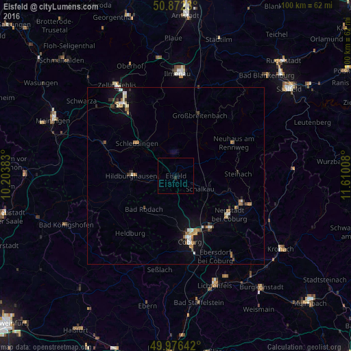
Analysis of Eisfeld night lights 2016
Square area 10x10 km:
 0%
0%90-99
0%80-89
0%70-79
0%60-69
0%50-59
0%40-49
0%30-39
0%20-29
0.56%10-19
0%0-9
99.44%Square area 50x50 km:
0.21%90-99
0.42%80-89
0.26%70-79
0.25%60-69
0.29%50-59
0.32%40-49
0.28%30-39
0.18%20-29
0.31%10-19
1.65%0-9
95.82%Clear (daylight) street map image can be seen on geolist.org.
Map coordinates:
50° 52' 20.3" North, 10° 12' 13.8" East
50° 25' 35.3" North, 10° 54' 25" East
49° 58' 35.1" North, 11° 36' 36.3" East
Some cities around Eisfeld sort by population:
• Coburg
19 km =11.8 mi,  167°
167°
• Sonneberg
20.4 km =12.7 mi,  111°
111°
• Neustadt bei Coburg
18.6 km =11.6 mi,  125°
125°
• Rödental
17.4 km =10.8 mi,  146°
146°
• Hildburghausen
12.4 km =7.7 mi,  269°
269°
• Neuhaus am Rennweg
18.8 km =11.7 mi,  60°
60°
• Schleusingen
14.2 km =8.8 mi,  311°
311°
• Weitramsdorf
19.1 km =11.9 mi,  185°
185°
2931433 (p: 5,855)
Sources (retrieved 2019-11-25):
» Earth at Night: Flat Maps 2012, 2016