Neustadt bei Coburg night lights from space
Night Light of Neustadt bei Coburg (Bavaria) from space (Germany) Src. Average luminocity for 10x10km area is 8.7087% and for 50x50km: 2.2654%.
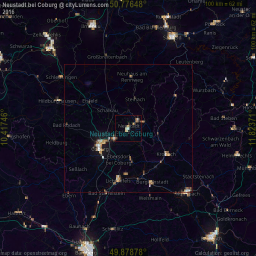
Analysis of Neustadt bei Coburg night lights 2016
Square area 10x10 km:
 0.28%
0.28%90-99
1.96%80-89
1.12%70-79
0.84%60-69
1.54%50-59
1.4%40-49
1.4%30-39
0.42%20-29
1.54%10-19
1.12%0-9
88.38%Square area 50x50 km:
0.21%90-99
0.33%80-89
0.2%70-79
0.3%60-69
0.43%50-59
0.37%40-49
0.41%30-39
0.12%20-29
0.21%10-19
1.08%0-9
96.33%Clear (daylight) street map image can be seen on geolist.org.
Map coordinates:
50° 46' 35.3" North, 10° 25' 2.9" East
50° 19' 47.1" North, 11° 7' 14.1" East
49° 52' 43.6" North, 11° 49' 25.4" East
Some cities around Neustadt bei Coburg sort by population:
• Coburg
13.6 km =8.5 mi,  234°
234°
• Sonneberg
5 km =3.1 mi,  49°
49°
• Kronach
18.1 km =11.2 mi,  123°
123°
• Rödental
6.8 km =4.2 mi,  235°
235°
• Michelau
18.6 km =11.6 mi,  181°
181°
• Ebersdorf
2.3 km =1.4 mi,  92°
92°
• Sonnefeld
12.6 km =7.8 mi, 175°
• Stockheim
11.7 km =7.3 mi,  102°
102°
2864053 (p: 16,715)
Sources (retrieved 2019-11-25):
» Earth at Night: Flat Maps 2012, 2016