Coburg night lights from space
Night Light of Coburg (Bavaria) from space (Germany) Src. Average luminocity for 10x10km area is 19.2607% and for 50x50km: 2.0214%.
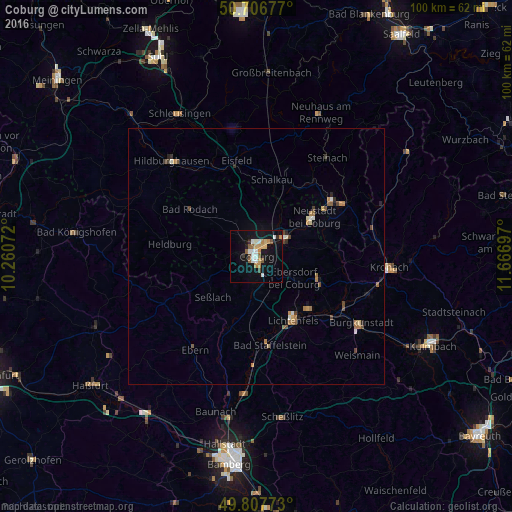
Analysis of Coburg night lights 2016
Square area 10x10 km:
 2.94%
2.94%90-99
3.48%80-89
1.87%70-79
2.41%60-69
2.54%50-59
3.07%40-49
1.34%30-39
0.53%20-29
1.2%10-19
19.39%0-9
61.23%Square area 50x50 km:
0.18%90-99
0.29%80-89
0.16%70-79
0.23%60-69
0.45%50-59
0.3%40-49
0.37%30-39
0.13%20-29
0.23%10-19
1.01%0-9
96.65%Clear (daylight) street map image can be seen on geolist.org.
Map coordinates:
50° 42' 24.4" North, 10° 15' 38.6" East
50° 15' 33.7" North, 10° 57' 49.8" East
49° 48' 27.8" North, 11° 40' 1.1" East
Some cities around Coburg sort by population:
• Lichtenfels
14.4 km =8.9 mi,  151°
151°
• Neustadt bei Coburg
13.6 km =8.5 mi,  54°
54°
• Rödental
6.8 km =4.2 mi, 54°
• Bad Staffelstein
17.7 km =11 mi,  171°
171°
• Michelau
15.1 km =9.4 mi,  135°
135°
• Ebersdorf
15.5 km =9.6 mi,  60°
60°
• Sonnefeld
13 km =8.1 mi,  111°
111°
• Weitramsdorf
6 km =3.7 mi,  266°
266°
2939951 (p: 41,901)
Sources (retrieved 2019-11-25):
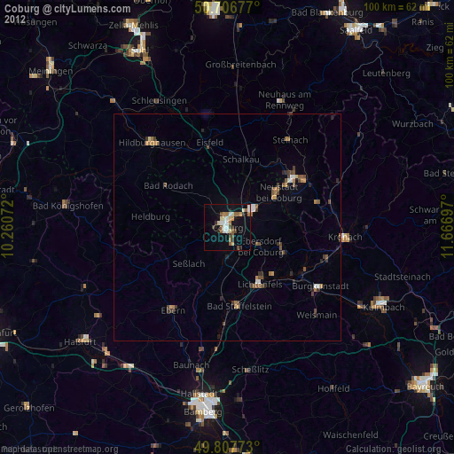
» Earth at Night: Flat Maps 2012, 2016