Dortmund night lights from space
Night Light of Dortmund (North Rhine-Westphalia) from space (Germany) Src. Average luminocity for 10x10km area is 81.4572% and for 50x50km: 31.8639%.
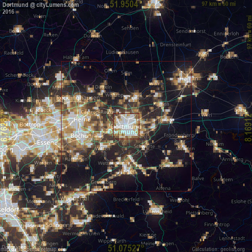
Analysis of Dortmund night lights 2016
Square area 10x10 km:
 27.01%
90-99
25.8%80-89
9.49%70-79
6.82%60-69
8.29%50-59
13.5%40-49
4.41%30-39
4.28%20-29
0.4%10-19
0%0-9
0%Square area 50x50 km:
4.24%90-99
5.08%80-89
3.09%70-79
3.92%60-69
5.27%50-59
5.9%40-49
5.3%30-39
5.68%20-29
9.23%10-19
19.98%0-9
32.31%Clear (daylight) street map image can be seen on geolist.org.
Map coordinates:
51° 57' 1.4" North, 6° 45' 46.3" East
51° 30' 53.8" North, 7° 27' 57.6" East
51° 4' 31" North, 8° 10' 8.8" East
Some cities around Dortmund sort by population:
• Witten
11.2 km =7 mi,  224°
224°
• Lünen
12.1 km =7.5 mi,  21°
21°
• Castrop-Rauxel
11.6 km =7.2 mi,  293°
293°
• Schwerte
10.6 km =6.6 mi,  138°
138°
• Waltrop
12.6 km =7.8 mi,  339°
339°
• Wetter (Ruhr)
15.1 km =9.4 mi,  199°
199°
• Herdecke
13 km =8.1 mi,  189°
189°
• Holzwickede
11.7 km =7.3 mi,  98°
98°
2935517 (p: 588,462)
Sources (retrieved 2019-11-25):
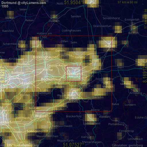
» NASA, Earths city lights 1995
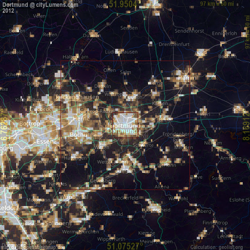
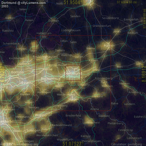
» NASA city lights 2003
» Earth at Night: Flat Maps 2012, 2016