Witten night lights from space
Night Light of Witten (North Rhine-Westphalia) from space (Germany) Src. Average luminocity for 10x10km area is 40.7567% and for 50x50km: 39.6815%.
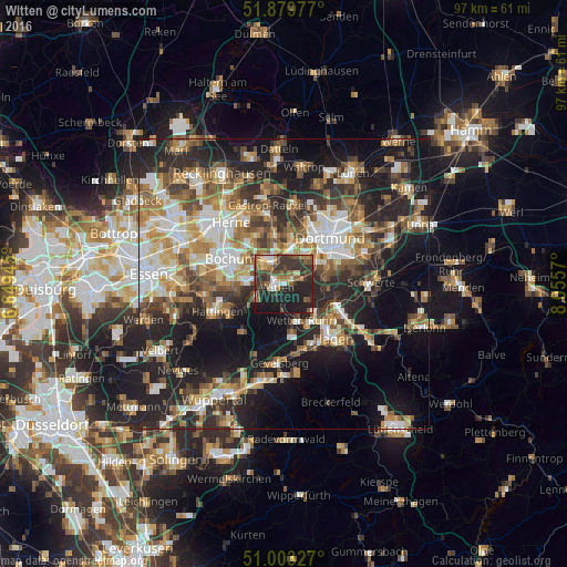
Analysis of Witten night lights 2016
Square area 10x10 km:
 4.14%
4.14%90-99
4.28%80-89
2.54%70-79
5.35%60-69
7.35%50-59
7.62%40-49
8.69%30-39
17.38%20-29
16.18%10-19
26.47%0-9
0%Square area 50x50 km:
6.27%90-99
6.96%80-89
4.35%70-79
5.19%60-69
6.31%50-59
6.73%40-49
5.78%30-39
6.16%20-29
12.33%10-19
19.85%0-9
20.08%Clear (daylight) street map image can be seen on geolist.org.
Map coordinates:
51° 52' 47.2" North, 6° 38' 58" East
51° 26' 37" North, 7° 21' 9.3" East
51° 0' 11.8" North, 8° 3' 20.5" East
Some cities around Witten sort by population:
• Dortmund
11.2 km =7 mi,  44°
44°
• Bochum
10.3 km =6.4 mi,  294°
294°
• Hagen
12.4 km =7.7 mi,  138°
138°
• Castrop-Rauxel
12.9 km =8 mi,  347°
347°
• Hattingen
12.6 km =7.8 mi,  246°
246°
• Wetter (Ruhr)
6.8 km =4.2 mi,  155°
155°
• Sprockhövel
13.2 km =8.2 mi,  215°
215°
• Herdecke
7.5 km =4.7 mi,  130°
130°
2807363 (p: 101,247)
Sources (retrieved 2019-11-25):
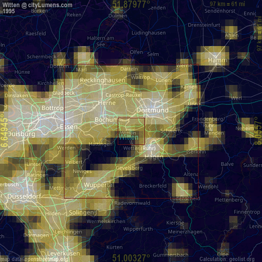
» NASA, Earths city lights 1995
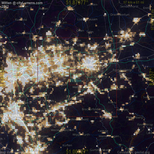
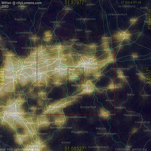
» NASA city lights 2003
» Earth at Night: Flat Maps 2012, 2016