Schwerte night lights from space
Night Light of Schwerte (North Rhine-Westphalia) from space (Germany) Src. Average luminocity for 10x10km area is 28.484% and for 50x50km: 26.6826%.
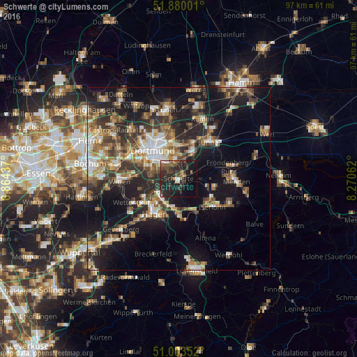
Analysis of Schwerte night lights 2016
Square area 10x10 km:
 1.74%
1.74%90-99
2.54%80-89
0.8%70-79
0.8%60-69
4.14%50-59
6.42%40-49
6.15%30-39
11.5%20-29
22.06%10-19
24.73%0-9
19.12%Square area 50x50 km:
3.29%90-99
3.95%80-89
2.38%70-79
3.29%60-69
4.24%50-59
4.89%40-49
4.6%30-39
5.01%20-29
8.35%10-19
18.78%0-9
41.22%Clear (daylight) street map image can be seen on geolist.org.
Map coordinates:
51° 52' 48" North, 6° 51' 51.7" East
51° 26' 37.9" North, 7° 34' 3" East
51° 0' 12.7" North, 8° 16' 14.2" East
Some cities around Schwerte sort by population:
• Dortmund
10.6 km =6.6 mi,  318°
318°
• Hagen
11.4 km =7.1 mi,  215°
215°
• Iserlohn
12.1 km =7.5 mi,  129°
129°
• Unna
13.5 km =8.4 mi,  38°
38°
• Wetter (Ruhr)
13.6 km =8.5 mi,  242°
242°
• Herdecke
10.4 km =6.5 mi, 241°
• Fröndenberg
14.4 km =8.9 mi,  75°
75°
• Holzwickede
7.7 km =4.8 mi, 36°
2834265 (p: 50,399)
Sources (retrieved 2019-11-25):
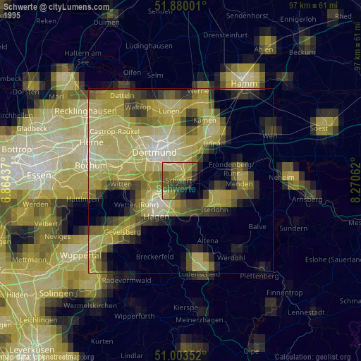
» NASA, Earths city lights 1995
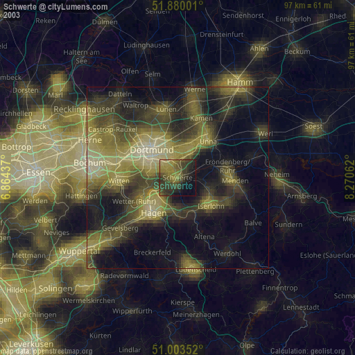
» NASA city lights 2003
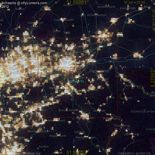
» Earth at Night: Flat Maps 2012, 2016