Braunschweig night lights from space
Night Light of Braunschweig (Lower Saxony) from space (Germany) Src. Average luminocity for 10x10km area is 52.9008% and for 50x50km: 8.9553%.
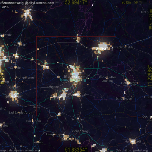
Analysis of Braunschweig night lights 2016
Square area 10x10 km:
 12.17%
90-99
13.62%80-89
3.7%70-79
7.94%60-69
5.69%50-59
5.03%40-49
7.01%30-39
5.82%20-29
16.14%10-19
19.97%0-9
2.91%Square area 50x50 km:
1.56%90-99
1.71%80-89
0.75%70-79
0.95%60-69
0.95%50-59
1.07%40-49
0.87%30-39
0.78%20-29
2.18%10-19
8.31%0-9
80.85%Clear (daylight) street map image can be seen on geolist.org.
Map coordinates:
52° 41' 39" North, 9° 49' 25" East
52° 15' 57.4" North, 10° 31' 36.2" East
51° 50' 0.7" North, 11° 13' 47.5" East
Some cities around Braunschweig sort by population:
• Salzgitter
14.3 km =8.9 mi,  212°
212°
• Wolfenbüttel
11.3 km =7 mi,  175°
175°
• Vechelde
11 km =6.8 mi,  266°
266°
• Cremlingen
8.6 km =5.3 mi,  101°
101°
• Lehre
12.1 km =7.5 mi,  51°
51°
• Wendeburg
11.5 km =7.1 mi,  307°
307°
• Klein Schwülper
10.7 km =6.6 mi,  321°
321°
• Sickte
9.5 km =5.9 mi,  123°
123°
2945024 (p: 244,715)
Sources (retrieved 2019-11-25):
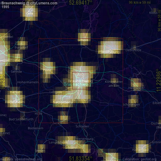
» NASA, Earths city lights 1995
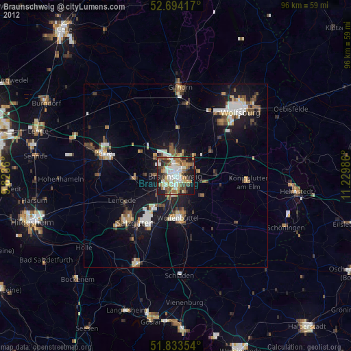
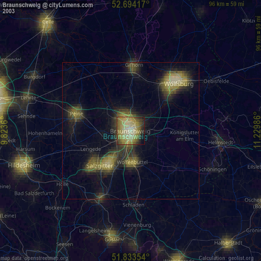
» NASA city lights 2003
» Earth at Night: Flat Maps 2012, 2016