Vechelde night lights from space
Night Light of Vechelde (Lower Saxony) from space (Germany) Src. Average luminocity for 10x10km area is 2.9656% and for 50x50km: 7.3847%.
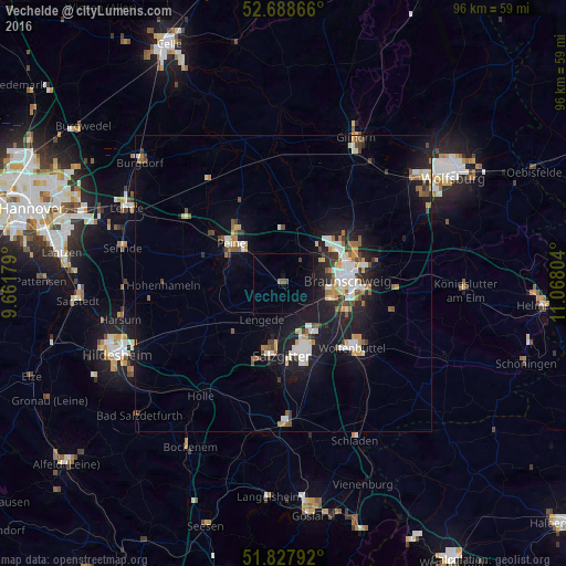
Analysis of Vechelde night lights 2016
Square area 10x10 km:
 0%
0%90-99
0%80-89
0%70-79
0%60-69
0%50-59
1.06%40-49
0.66%30-39
0.66%20-29
0%10-19
2.51%0-9
95.11%Square area 50x50 km:
1.13%90-99
1.33%80-89
0.61%70-79
0.79%60-69
0.77%50-59
1.02%40-49
0.88%30-39
0.7%20-29
1.54%10-19
6.92%0-9
84.31%Clear (daylight) street map image can be seen on geolist.org.
Map coordinates:
52° 41' 19.2" North, 9° 39' 42.4" East
52° 15' 37.4" North, 10° 21' 53.7" East
51° 49' 40.5" North, 11° 4' 4.9" East
Some cities around Vechelde sort by population:
• Braunschweig
11 km =6.8 mi,  86°
86°
• Salzgitter
12 km =7.5 mi,  163°
163°
• Peine
11 km =6.8 mi,  306°
306°
• Lengede
7.3 km =4.5 mi,  212°
212°
• Ilsede
11.3 km =7 mi,  271°
271°
• Wendeburg
7.9 km =4.9 mi,  13°
13°
• Söhlde
12 km =7.5 mi,  228°
228°
• Klein Schwülper
10 km =6.2 mi,  25°
25°
2817813 (p: 16,219)
Sources (retrieved 2019-11-25):
» Earth at Night: Flat Maps 2012, 2016