Herford night lights from space
Night Light of Herford (North Rhine-Westphalia) from space (Germany) Src. Average luminocity for 10x10km area is 17.8241% and for 50x50km: 8.299%.
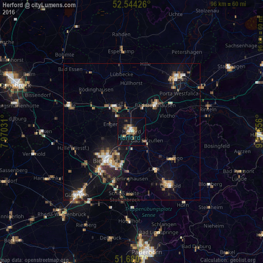
Analysis of Herford night lights 2016
Square area 10x10 km:
 1.46%
1.46%90-99
1.72%80-89
1.46%70-79
1.72%60-69
2.12%50-59
5.16%40-49
3.7%30-39
1.59%20-29
1.85%10-19
17.2%0-9
62.04%Square area 50x50 km:
0.82%90-99
1.17%80-89
0.77%70-79
0.81%60-69
1.16%50-59
1.39%40-49
1.5%30-39
1.09%20-29
1.72%10-19
5.98%0-9
83.59%Clear (daylight) street map image can be seen on geolist.org.
Map coordinates:
52° 32' 39.3" North, 7° 58' 13.1" East
52° 6' 52.5" North, 8° 40' 24.3" East
51° 40' 50.5" North, 9° 22' 35.6" East
Some cities around Herford sort by population:
• Bad Salzuflen
5.8 km =3.6 mi,  123°
123°
• Bünde
11 km =6.8 mi,  327°
327°
• Löhne
8.3 km =5.2 mi,  8°
8°
• Hiddenhausen
7 km =4.3 mi, 326°
• Enger
8.4 km =5.2 mi,  290°
290°
• Kirchlengern
9.9 km =6.2 mi,  343°
343°
• Leopoldshöhe
11.5 km =7.1 mi,  171°
171°
• Obernbeck
9.9 km =6.2 mi, 12°
2906121 (p: 64,879)
Sources (retrieved 2019-11-25):
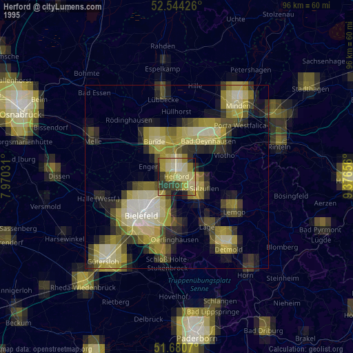
» NASA, Earths city lights 1995
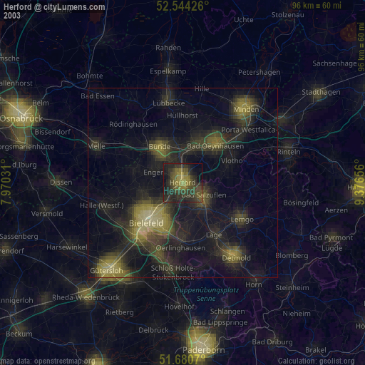
» NASA city lights 2003
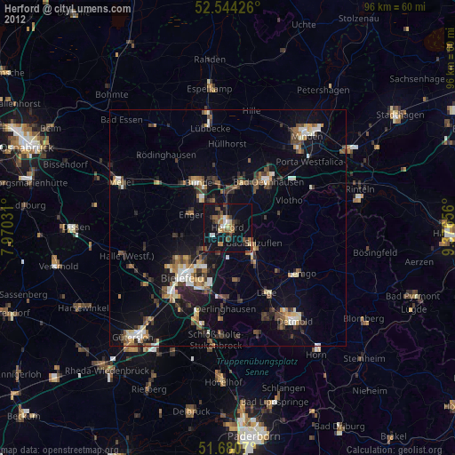
» Earth at Night: Flat Maps 2012, 2016