Kalk night lights from space
Night Light of Kalk (North Rhine-Westphalia) from space (Germany) Src. Average luminocity for 10x10km area is 83.8375% and for 50x50km: 32.3773%.
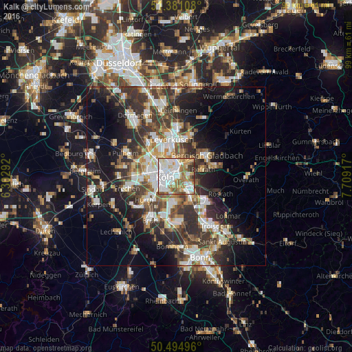
Analysis of Kalk night lights 2016
Square area 10x10 km:
 31.65%
90-99
25.63%80-89
7%70-79
8.26%60-69
14.43%50-59
6.02%40-49
3.22%30-39
3.64%20-29
0.14%10-19
0%0-9
0%Square area 50x50 km:
6.04%90-99
6.49%80-89
3.06%70-79
3.2%60-69
4.26%50-59
4.79%40-49
4.64%30-39
7.32%20-29
9.07%10-19
14.08%0-9
37.06%Clear (daylight) street map image can be seen on geolist.org.
Map coordinates:
51° 22' 51.9" North, 6° 18' 10.5" East
50° 56' 24.5" North, 7° 0' 21.8" East
50° 29' 41.9" North, 7° 42' 33" East
Some cities around Kalk sort by population:
• Mülheim
2.9 km =1.8 mi,  356°
356°
• Deutz
2.3 km =1.4 mi,  254°
254°
• Humboldtkolonie
1.2 km =0.7 mi,  220°
220°
• Buchheim
1.6 km =1 mi,  39°
39°
• Höhenberg
2.6 km =1.6 mi,  107°
107°
• Ostheim
2.8 km =1.7 mi, 110°
• Poll
3.3 km =2.1 mi,  199°
199°
• Buchforst
1.2 km =0.7 mi, 359°
8593861 (p: 22,802)
Sources (retrieved 2019-11-25):
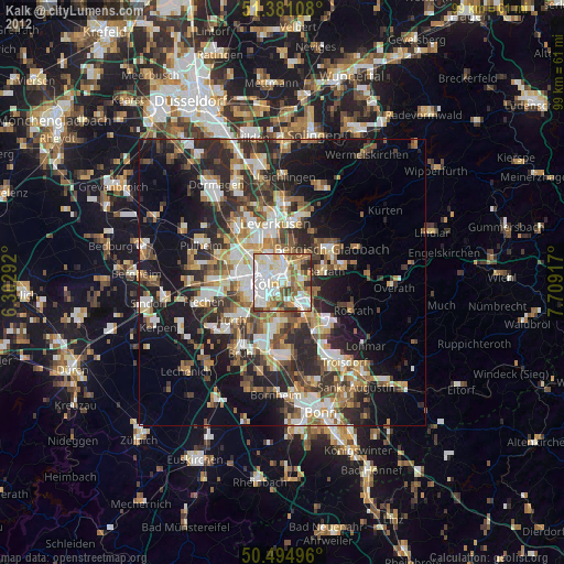
» Earth at Night: Flat Maps 2012, 2016