Buchforst night lights from space
Night Light of Buchforst (North Rhine-Westphalia) from space (Germany) Src. Average luminocity for 10x10km area is 81.7311% and for 50x50km: 33.2073%.
Analysis of Buchforst night lights 2016
Square area 10x10 km:
 28.01%
90-99
22.97%80-89
8.68%70-79
9.38%60-69
17.37%50-59
5.46%40-49
2.66%30-39
4.76%20-29
0.7%10-19
0%0-9
0%Square area 50x50 km:
6.26%90-99
6.63%80-89
3.1%70-79
3.33%60-69
4.46%50-59
4.95%40-49
4.79%30-39
7.5%20-29
9.13%10-19
14.14%0-9
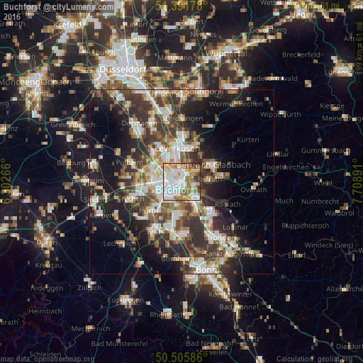
35.7%Clear (daylight) street map image can be seen on geolist.org.
Map coordinates:
51° 23' 30.4" North, 6° 18' 9.6" East
50° 57' 3.3" North, 7° 0' 20.8" East
50° 30' 21.1" North, 7° 42' 32.1" East
Some cities around Buchforst sort by population:
• Mülheim
1.7 km =1.1 mi,  355°
355°
• Kalk
1.2 km =0.7 mi,  179°
179°
• Deutz
2.8 km =1.7 mi,  230°
230°
• Humboldtkolonie
2.3 km =1.4 mi,  200°
200°
• Buchheim
1.1 km =0.7 mi,  86°
86°
• Höhenberg
3.2 km =2 mi,  128°
128°
• Ostheim
3.5 km =2.2 mi, 129°
• Riehl
2.8 km =1.7 mi,  310°
310°
8593860 (p: 7,177)
Sources (retrieved 2019-11-25):
» Earth at Night: Flat Maps 2012, 2016