Horažďovice night lights from space
Night Light of Horažďovice (Plzeňský kraj) from space (Czech Republic) Src. Average luminocity for 10x10km area is 1.6497% and for 50x50km: 0.8428%.
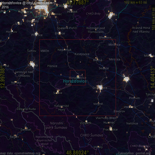
Analysis of Horažďovice night lights 2016
Square area 10x10 km:
 0%
0%90-99
0%80-89
0%70-79
0.13%60-69
0.94%50-59
0%40-49
1.47%30-39
0.13%20-29
0%10-19
0.53%0-9
96.79%Square area 50x50 km:
0.14%90-99
0.08%80-89
0.04%70-79
0.03%60-69
0.19%50-59
0.08%40-49
0.21%30-39
0.2%20-29
0.15%10-19
0.19%0-9
98.69%Clear (daylight) street map image can be seen on geolist.org.
Map coordinates:
49° 46' 36.7" North, 12° 59' 52.4" East
49° 19' 14.5" North, 13° 42' 3.6" East
48° 51' 36.9" North, 14° 24' 14.9" East
Some cities around Horažďovice sort by population:
• Písek
32.4 km =20.1 mi,  92°
92°
• Strakonice
16 km =9.9 mi,  114°
114°
• Klatovy
30.6 km =19 mi,  285°
285°
• Sušice
16.5 km =10.3 mi,  232°
232°
• Vimperk
29.7 km =18.5 mi,  168°
168°
• Blatná
17.5 km =10.9 mi,  48°
48°
• Vodňany
39.4 km =24.5 mi,  119°
119°
• Přeštice
38.6 km =24 mi,  316°
316°
3075522 (p: 5,727)
Sources (retrieved 2019-11-25):
» Earth at Night: Flat Maps 2012, 2016