Klatovy night lights from space
Night Light of Klatovy (Plzeňský kraj) from space (Czech Republic) Src. Average luminocity for 10x10km area is 10.2914% and for 50x50km: 1.0877%.
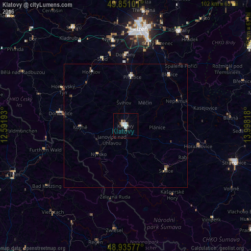
Analysis of Klatovy night lights 2016
Square area 10x10 km:
 2.27%
2.27%90-99
2.94%80-89
1.2%70-79
0%60-69
0%50-59
1.6%40-49
0.94%30-39
0.13%20-29
0.53%10-19
0.53%0-9
89.84%Square area 50x50 km:
0.17%90-99
0.22%80-89
0.14%70-79
0.07%60-69
0.07%50-59
0.2%40-49
0.11%30-39
0.13%20-29
0.11%10-19
0.07%0-9
98.7%Clear (daylight) street map image can be seen on geolist.org.
Map coordinates:
49° 51' 3.6" North, 12° 35' 30.9" East
49° 23' 43.9" North, 13° 17' 42.2" East
48° 56' 8.8" North, 13° 59' 53.4" East
Some cities around Klatovy sort by population:
• Sušice
24.5 km =15.2 mi,  138°
138°
• Domažlice
26.9 km =16.7 mi,  280°
280°
• Furth im Wald, DE
34.2 km =21.3 mi,  253°
253°
• Nýřany
35.6 km =22.1 mi,  350°
350°
• Přeštice
19.9 km =12.4 mi,  8°
8°
• Dobřany
28.8 km =17.9 mi,  359°
359°
• Horažďovice
30.6 km =19 mi,  105°
105°
• Nýrsko
15.8 km =9.8 mi,  224°
224°
3073660 (p: 23,102)
Sources (retrieved 2019-11-25):
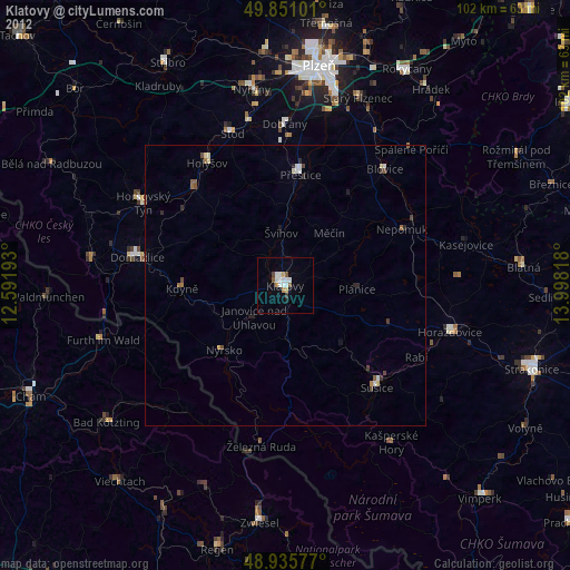
» Earth at Night: Flat Maps 2012, 2016