Písek night lights from space
Night Light of Písek (Jihočeský kraj) from space (Czech Republic) Src. Average luminocity for 10x10km area is 13.3877% and for 50x50km: 1.7801%.
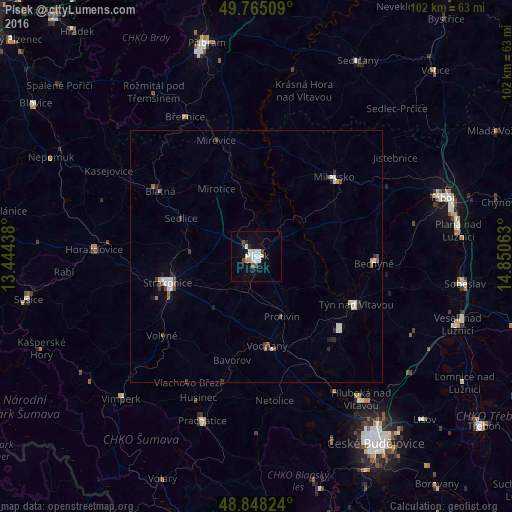
Analysis of Písek night lights 2016
Square area 10x10 km:
 3.21%
3.21%90-99
3.61%80-89
1.07%70-79
0.67%60-69
0%50-59
0.8%40-49
1.87%30-39
0%20-29
1.6%10-19
5.48%0-9
81.68%Square area 50x50 km:
0.38%90-99
0.37%80-89
0.12%70-79
0.07%60-69
0.14%50-59
0.12%40-49
0.32%30-39
0.17%20-29
0.33%10-19
0.47%0-9
97.51%Clear (daylight) street map image can be seen on geolist.org.
Map coordinates:
49° 45' 54.3" North, 13° 26' 39.8" East
49° 18' 31.7" North, 14° 8' 51" East
48° 50' 53.7" North, 14° 51' 2.3" East
Some cities around Písek sort by population:
• Strakonice
18.5 km =11.5 mi,  253°
253°
• Milevsko
22.1 km =13.7 mi,  44°
44°
• Týn nad Vltavou
22 km =13.7 mi,  115°
115°
• Blatná
23.2 km =14.4 mi,  303°
303°
• Vodňany
18 km =11.2 mi,  173°
173°
• Bechyně
23.3 km =14.5 mi,  93°
93°
• Horažďovice
32.4 km =20.1 mi,  272°
272°
• Protivín
13.2 km =8.2 mi,  157°
157°
3068293 (p: 29,774)
Sources (retrieved 2019-11-25):
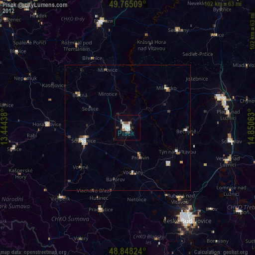
» Earth at Night: Flat Maps 2012, 2016