Vimperk night lights from space
Night Light of Vimperk (Jihočeský kraj) from space (Czech Republic) Src. Average luminocity for 10x10km area is 1.2634% and for 50x50km: 0.8904%.
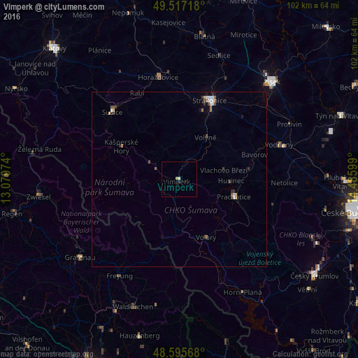
Analysis of Vimperk night lights 2016
Square area 10x10 km:
 0%
0%90-99
0.6%80-89
0%70-79
0.6%60-69
0%50-59
0%40-49
0%30-39
0%20-29
0.6%10-19
0.6%0-9
97.62%Square area 50x50 km:
0.18%90-99
0.12%80-89
0.06%70-79
0.08%60-69
0.13%50-59
0.1%40-49
0.2%30-39
0.18%20-29
0.15%10-19
0.17%0-9
98.64%Clear (daylight) street map image can be seen on geolist.org.
Map coordinates:
49° 31' 1.8" North, 13° 4' 47.1" East
49° 3' 30.9" North, 13° 46' 58.3" East
48° 35' 44.4" North, 14° 29' 9.6" East
Some cities around Vimperk sort by population:
• Strakonice
24.2 km =15 mi,  21°
21°
• Prachatice
16.5 km =10.3 mi,  107°
107°
• Sušice
27.1 km =16.8 mi,  315°
315°
• Grafenau, DE
35.9 km =22.3 mi,  231°
231°
• Freyung, DE
32.6 km =20.3 mi,  211°
211°
• Vodňany
30.2 km =18.8 mi,  70°
70°
• Horažďovice
29.7 km =18.5 mi,  348°
348°
• Protivín
35.3 km =21.9 mi,  63°
63°
3062888 (p: 8,043)
Sources (retrieved 2019-11-25):
» Earth at Night: Flat Maps 2012, 2016