Flying Fish Cove night lights from space
Night Light of Flying Fish Cove from space (Christmas Island) Src. Average luminocity for 10x10km area is 4.2913% and for 50x50km: 0.2038%.
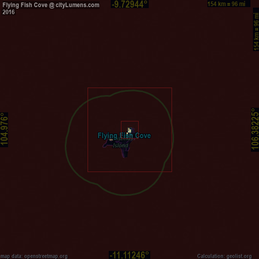
Analysis of Flying Fish Cove night lights 2016
Square area 10x10 km:
 0%
0%90-99
0%80-89
2.69%70-79
0.62%60-69
0.21%50-59
1.45%40-49
0%30-39
0%20-29
0%10-19
0%0-9
95.04%Square area 50x50 km:
0%90-99
0%80-89
0.11%70-79
0.03%60-69
0.01%50-59
0.06%40-49
0.03%30-39
0.03%20-29
0%10-19
0%0-9
99.73%Clear (daylight) street map image can be seen on geolist.org.
Map coordinates:
9° 43' 46" South, 104° 58' 33.6" East
10° 25' 18.2" South, 105° 40' 44.8" East
11° 6' 44.9" South, 106° 22' 56.1" East
Some cities around Flying Fish Cove sort by population:
• Sukabumi, ID
413 km =256.6 mi,  19°
19°
• Banjaran, ID
430 km =267.2 mi,  29°
29°
• Soreang, ID
427.6 km =265.7 mi, 28°
• Caringin, ID
431.8 km =268.3 mi, 16°
• Cicurug, ID
422.5 km =262.5 mi, 16°
• Pameungpeuk, ID
433.5 km =269.4 mi, 29°
• Pelabuhanratu, ID
393.7 km =244.6 mi,  14°
14°
• Banjar, ID
407.1 km =253 mi, 28°
2078127 (p: 500)
Sources (retrieved 2019-11-25):
» Earth at Night: Flat Maps 2012, 2016