Banjar night lights from space
Night Light of Banjar (West Java) from space (Indonesia) Src. Average luminocity for 10x10km area is 1.1472% and for 50x50km: 4.8559%.
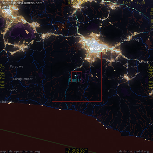
Analysis of Banjar night lights 2016
Square area 10x10 km:
 0.43%
0.43%90-99
0.43%80-89
0%70-79
0%60-69
0%50-59
0%40-49
0%30-39
0%20-29
0.87%10-19
0%0-9
98.27%Square area 50x50 km:
0.16%90-99
0.35%80-89
0.61%70-79
0.91%60-69
1.42%50-59
1.35%40-49
0.93%30-39
0.69%20-29
1.2%10-19
2.39%0-9
89.98%Clear (daylight) street map image can be seen on geolist.org.
Map coordinates:
6° 29' 50.6" South, 106° 43' 41.4" East
7° 11' 43.8" South, 107° 25' 52.7" East
7° 53' 33.1" South, 108° 8' 3.9" East
Some cities around Banjar sort by population:
• Bandung
36 km =22.4 mi,  32°
32°
• Cimahi
38 km =23.6 mi,  18°
18°
• Soreang
20.5 km =12.7 mi, 27°
• Paseh
38.1 km =23.7 mi,  74°
74°
• Padalarang
40 km =24.9 mi,  6°
6°
• Cileunyi
45.5 km =28.3 mi,  51°
51°
• Margahayukencana
29.2 km =18.1 mi, 31°
• Pameungpeuk
27.4 km =17 mi,  44°
44°
1650234 (p: 37,263)
Sources (retrieved 2019-11-25):
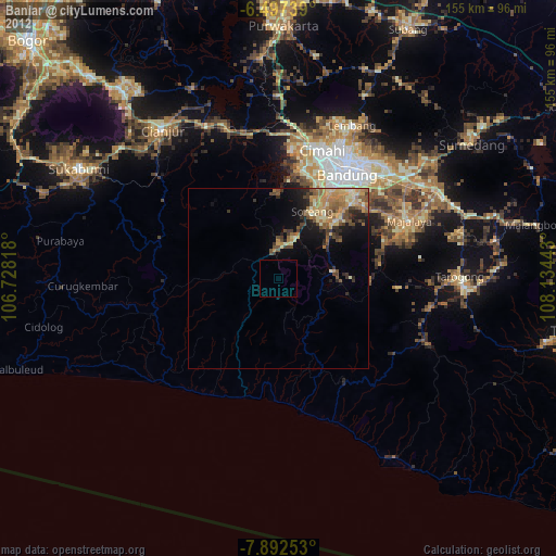
» Earth at Night: Flat Maps 2012, 2016