Caringin night lights from space
Night Light of Caringin (West Java) from space (Indonesia) Src. Average luminocity for 10x10km area is 45.7035% and for 50x50km: 24.5551%.
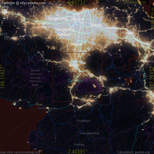
Analysis of Caringin night lights 2016
Square area 10x10 km:
 0.43%
0.43%90-99
0.87%80-89
4.98%70-79
6.93%60-69
9.96%50-59
17.53%40-49
21.21%30-39
14.94%20-29
11.26%10-19
11.47%0-9
0.43%Square area 50x50 km:
1.42%90-99
2.6%80-89
3.16%70-79
4.74%60-69
5.34%50-59
5.21%40-49
5.96%30-39
3.6%20-29
4.98%10-19
13.62%0-9
49.38%Clear (daylight) street map image can be seen on geolist.org.
Map coordinates:
6° 0' 26.3" South, 106° 7' 5.8" East
6° 42' 22" South, 106° 49' 17" East
7° 24' 14.1" South, 107° 31' 28.3" East
Some cities around Caringin sort by population:
• Depok
34 km =21.1 mi,  359°
359°
• Bogor
12.9 km =8 mi,  344°
344°
• Sukabumi
26.3 km =16.3 mi,  153°
153°
• Ciampea
21.5 km =13.4 mi,  321°
321°
• Parung
33.1 km =20.6 mi, 342°
• Cibinong
25.2 km =15.7 mi,  8°
8°
• Citeureup
25.4 km =15.8 mi,  15°
15°
• Cicurug
9.4 km =5.8 mi,  207°
207°
1647298 (p: 91,845)
Sources (retrieved 2019-11-25):
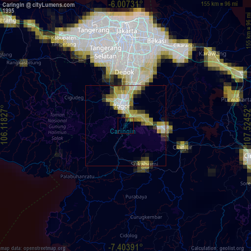
» NASA, Earths city lights 1995
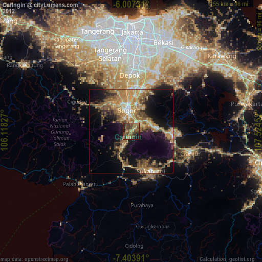
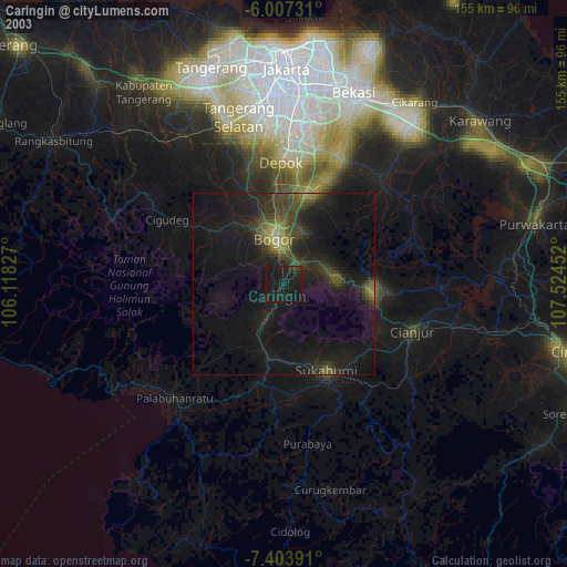
» NASA city lights 2003
» Earth at Night: Flat Maps 2012, 2016