Cicurug night lights from space
Night Light of Cicurug (West Java) from space (Indonesia) Src. Average luminocity for 10x10km area is 29.5779% and for 50x50km: 19.2232%.
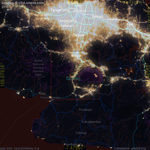
Analysis of Cicurug night lights 2016
Square area 10x10 km:
 0%
0%90-99
0.87%80-89
4.11%70-79
5.63%60-69
7.14%50-59
4.33%40-49
8.87%30-39
9.74%20-29
4.98%10-19
33.55%0-9
20.78%Square area 50x50 km:
1.18%90-99
2.01%80-89
2.46%70-79
2.85%60-69
3.8%50-59
3.99%40-49
5.04%30-39
3.3%20-29
4.22%10-19
12.61%0-9
58.55%Clear (daylight) street map image can be seen on geolist.org.
Map coordinates:
6° 4' 57.7" South, 106° 4' 45.8" East
6° 46' 53" South, 106° 46' 57" East
7° 28' 44.7" South, 107° 29' 8.3" East
Some cities around Cicurug sort by population:
• Bogor
20.8 km =12.9 mi,  2°
2°
• Sukabumi
22 km =13.7 mi,  133°
133°
• Ciampea
26.8 km =16.7 mi,  340°
340°
• Parung
40.4 km =25.1 mi,  352°
352°
• Cibinong
34.3 km =21.3 mi,  13°
13°
• Citeureup
34.7 km =21.6 mi,  18°
18°
• Caringin
9.4 km =5.8 mi,  27°
27°
• Pelabuhanratu
34.3 km =21.3 mi,  228°
228°
1646893 (p: 88,965)
Sources (retrieved 2019-11-25):
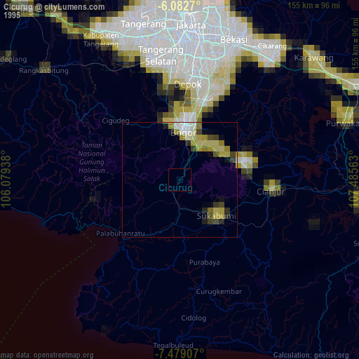
» NASA, Earths city lights 1995
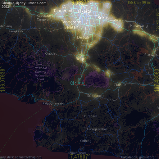
» NASA city lights 2003
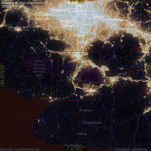
» Earth at Night: Flat Maps 2012, 2016