San Cristobal night lights from space
Night Light of San Cristobal (Artemisa) from space (Cuba) Src. Average luminocity for 10x10km area is 17.0933% and for 50x50km: 2.2456%.
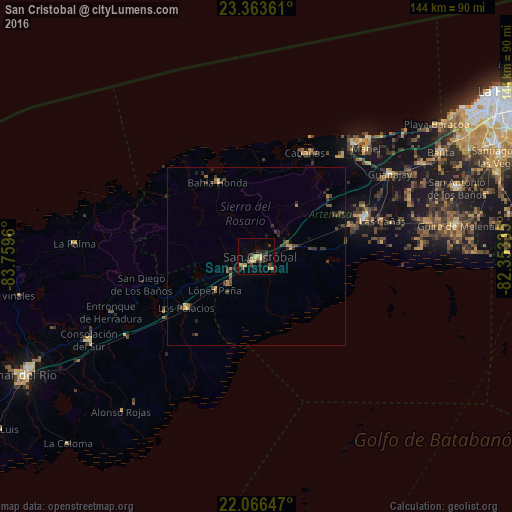
Analysis of San Cristobal night lights 2016
Square area 10x10 km:
 0%
0%90-99
0%80-89
4.56%70-79
4.96%60-69
1.59%50-59
2.18%40-49
2.98%30-39
3.57%20-29
4.56%10-19
1.59%0-9
74.01%Square area 50x50 km:
0%90-99
0%80-89
0.31%70-79
0.44%60-69
0.27%50-59
0.34%40-49
0.76%30-39
0.65%20-29
0.66%10-19
0.51%0-9
96.06%Clear (daylight) street map image can be seen on geolist.org.
Map coordinates:
23° 21' 49" North, 83° 45' 34.6" West
22° 42' 59.7" North, 83° 3' 23.3" West
22° 3' 59.3" North, 82° 21' 12.1" West
Some cities around San Cristobal sort by population:
• Artemisa
32.4 km =20.1 mi,  69°
69°
• Mariel
43.4 km =27 mi,  45°
45°
• Los Palacios
24.1 km =15 mi,  233°
233°
• Guanajay
44.4 km =27.6 mi,  58°
58°
• Bahía Honda
23.3 km =14.5 mi,  332°
332°
• Candelaria
10.3 km =6.4 mi,  75°
75°
• Soroa
10.1 km =6.3 mi,  23°
23°
• Cabañas
32.3 km =20.1 mi,  25°
25°
3540680 (p: 59,579)
Sources (retrieved 2019-11-25):
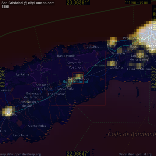
» NASA, Earths city lights 1995
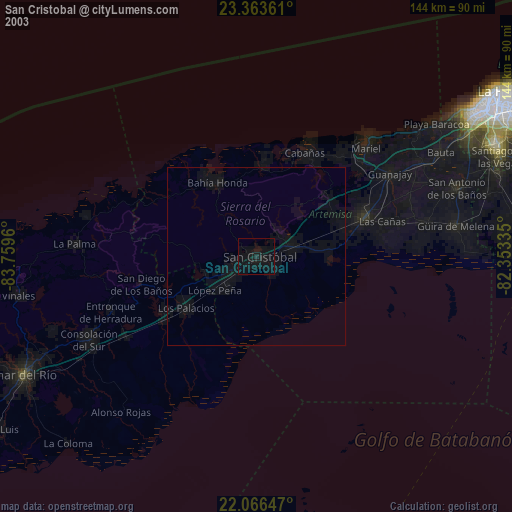
» NASA city lights 2003
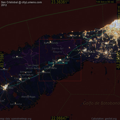
» Earth at Night: Flat Maps 2012, 2016