Mariel night lights from space
Night Light of Mariel (Artemisa) from space (Cuba) Src. Average luminocity for 10x10km area is 32.9643% and for 50x50km: 11.2849%.
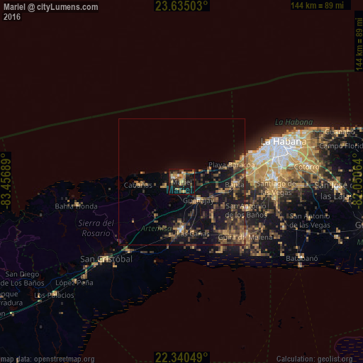
Analysis of Mariel night lights 2016
Square area 10x10 km:
 1.19%
1.19%90-99
2.18%80-89
4.56%70-79
9.33%60-69
2.98%50-59
4.76%40-49
9.92%30-39
6.35%20-29
8.13%10-19
38.1%0-9
12.5%Square area 50x50 km:
0.15%90-99
0.29%80-89
0.85%70-79
2.01%60-69
1.56%50-59
1.91%40-49
3.98%30-39
3.45%20-29
3.59%10-19
13.12%0-9
69.1%Clear (daylight) street map image can be seen on geolist.org.
Map coordinates:
23° 38' 6.1" North, 83° 27' 24.8" West
22° 59' 21.5" North, 82° 45' 13.5" West
22° 20' 25.8" North, 82° 3' 2.3" West
Some cities around Mariel sort by population:
• Güira de Melena
33.2 km =20.6 mi,  130°
130°
• Artemisa
19.2 km =11.9 mi,  181°
181°
• Bauta
21.2 km =13.2 mi,  92°
92°
• San Antonio de los Baños
28.1 km =17.5 mi,  113°
113°
• Guanajay
9.7 km =6 mi,  135°
135°
• Alquízar
26.9 km =16.7 mi, 139°
• Soroa
34.2 km =21.3 mi,  231°
231°
• Cabañas
17.3 km =10.7 mi,  266°
266°
3547600 (p: 28,987)
Sources (retrieved 2019-11-25):
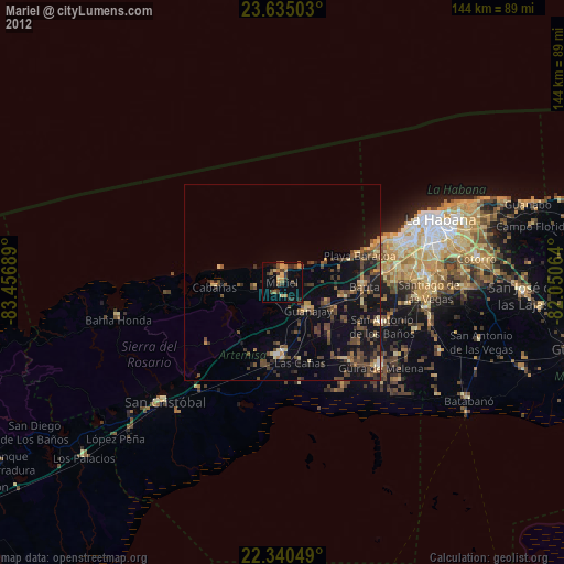
» Earth at Night: Flat Maps 2012, 2016