Artemisa night lights from space
Night Light of Artemisa from space (Cuba) Src. Average luminocity for 10x10km area is 30.4187% and for 50x50km: 11.5224%.
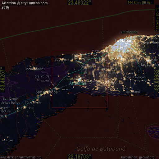
Analysis of Artemisa night lights 2016
Square area 10x10 km:
 1.79%
1.79%90-99
1.39%80-89
4.37%70-79
3.17%60-69
5.16%50-59
2.38%40-49
13.89%30-39
7.74%20-29
6.94%10-19
40.28%0-9
12.9%Square area 50x50 km:
0.13%90-99
0.25%80-89
0.73%70-79
2.04%60-69
1.53%50-59
1.79%40-49
4.37%30-39
3.86%20-29
3.71%10-19
13.38%0-9
68.21%Clear (daylight) street map image can be seen on geolist.org.
Map coordinates:
23° 27' 47.6" North, 83° 27' 45.3" West
22° 49' 0" North, 82° 45' 34" West
22° 10' 1.3" North, 82° 3' 22.8" West
Some cities around Artemisa sort by population:
• Güira de Melena
26 km =16.2 mi,  95°
95°
• San Antonio de los Baños
27.7 km =17.2 mi,  72°
72°
• Mariel
19.2 km =11.9 mi,  1°
1°
• Guanajay
14.3 km =8.9 mi,  31°
31°
• Alquízar
18 km =11.2 mi,  94°
94°
• Candelaria
22.2 km =13.8 mi,  247°
247°
• Soroa
26.4 km =16.4 mi,  265°
265°
• Cabañas
24.6 km =15.3 mi,  317°
317°
3568312 (p: 68,073)
Sources (retrieved 2019-11-25):
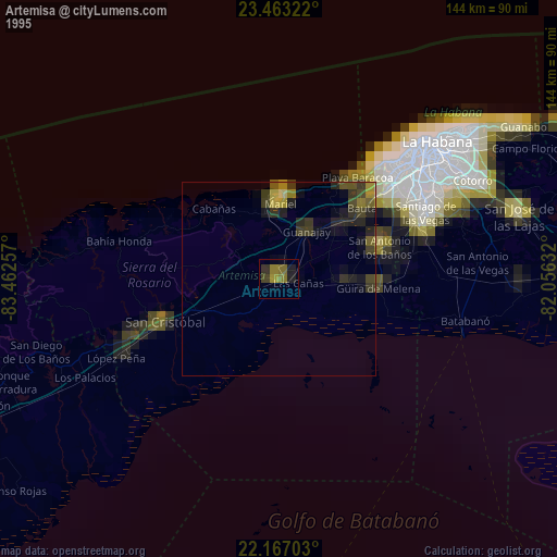
» NASA, Earths city lights 1995
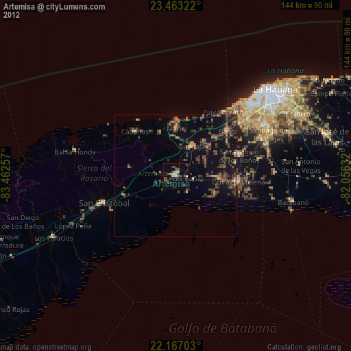
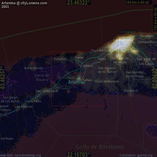
» NASA city lights 2003
» Earth at Night: Flat Maps 2012, 2016