San José night lights from space
Night Light of San José (Alajuela) from space (Costa Rica) Src. Average luminocity for 10x10km area is 0.3355% and for 50x50km: 0.7111%.
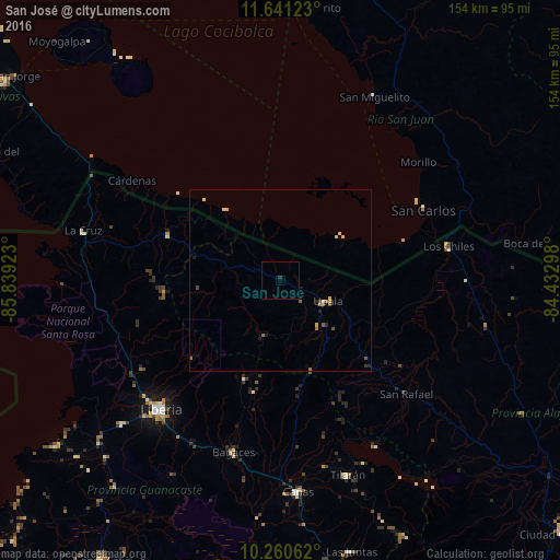
Analysis of San José night lights 2016
Square area 10x10 km:
 0%
0%90-99
0%80-89
0%70-79
0%60-69
0%50-59
0%40-49
0%30-39
0.43%20-29
0.43%10-19
0%0-9
99.13%Square area 50x50 km:
0%90-99
0.03%80-89
0.29%70-79
0.05%60-69
0.09%50-59
0.2%40-49
0.15%30-39
0.05%20-29
0.13%10-19
0.13%0-9
98.88%Clear (daylight) street map image can be seen on geolist.org.
Map coordinates:
11° 38' 28.4" North, 85° 50' 21.2" West
10° 57' 6.2" North, 85° 8' 10" West
10° 15' 38.2" North, 84° 25' 58.7" West
Some cities around San José sort by population:
• Liberia
48.2 km =30 mi,  223°
223°
• Rivas, NI
92.6 km =57.5 mi,  305°
305°
• Cañas
58 km =36 mi,  175°
175°
• Nicoya
95.5 km =59.3 mi,  201°
201°
• San Carlos, NI
43.5 km =27 mi,  63°
63°
• Santa Cruz
91.2 km =56.7 mi,  212°
212°
• Tilarán
56.9 km =35.4 mi,  161°
161°
• Potosí, NI
99.1 km =61.6 mi, 307°
3621841 (p: 31,430)
Sources (retrieved 2019-11-25):
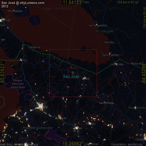
» Earth at Night: Flat Maps 2012, 2016