Rivas night lights from space
Night Light of Rivas from space (Nicaragua) Src. Average luminocity for 10x10km area is 10.6905% and for 50x50km: 0.9639%.
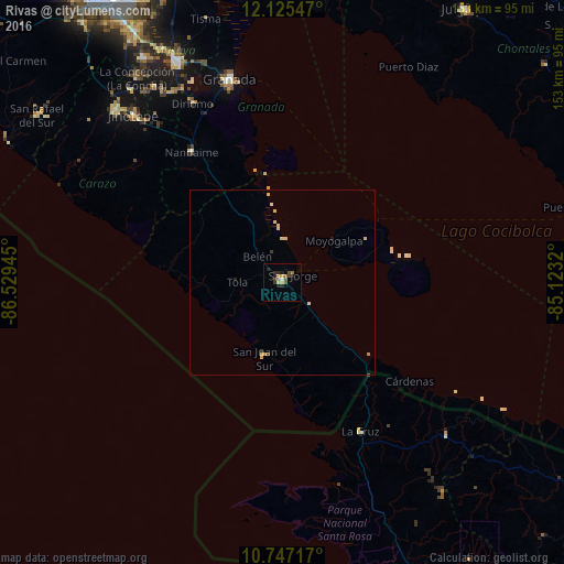
Analysis of Rivas night lights 2016
Square area 10x10 km:
 0.65%
0.65%90-99
1.08%80-89
0.43%70-79
1.52%60-69
1.73%50-59
2.81%40-49
1.73%30-39
2.6%20-29
5.19%10-19
1.3%0-9
80.95%Square area 50x50 km:
0.03%90-99
0.11%80-89
0.34%70-79
0.13%60-69
0.08%50-59
0.11%40-49
0.1%30-39
0.17%20-29
0.25%10-19
0.07%0-9
98.61%Clear (daylight) street map image can be seen on geolist.org.
Map coordinates:
12° 7' 31.7" North, 86° 31' 46" West
11° 26' 13.8" North, 85° 49' 34.8" West
10° 44' 49.8" North, 85° 7' 23.5" West
Some cities around Rivas sort by population:
• Granada
56.6 km =35.2 mi,  345°
345°
• Nandaime
43.3 km =26.9 mi,  325°
325°
• Diriomo
54.7 km =34 mi, 333°
• San Juan del Sur
21 km =13 mi,  193°
193°
• San Jorge
3.3 km =2.1 mi,  50°
50°
• Santa Teresa
54.2 km =33.7 mi,  308°
308°
• Belén
10 km =6.2 mi,  316°
316°
• Potosí
7.2 km =4.5 mi, 332°
3617052 (p: 30,000)
Sources (retrieved 2019-11-25):
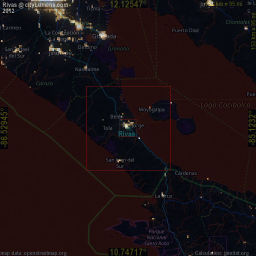
» Earth at Night: Flat Maps 2012, 2016