Cañas night lights from space
Night Light of Cañas (Guanacaste) from space (Costa Rica) Src. Average luminocity for 10x10km area is 11.4731% and for 50x50km: 1.9551%.
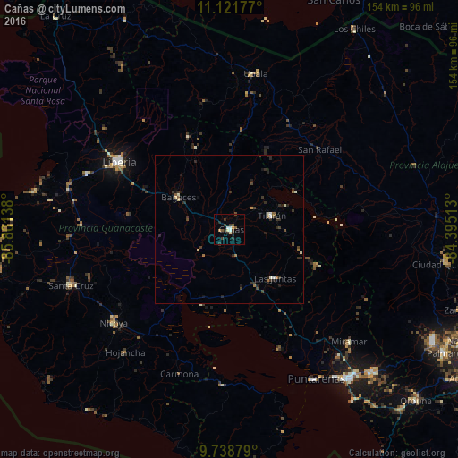
Analysis of Cañas night lights 2016
Square area 10x10 km:
 1.45%
1.45%90-99
1.86%80-89
0.83%70-79
0.83%60-69
0.83%50-59
1.86%40-49
1.03%30-39
4.55%20-29
4.13%10-19
0.83%0-9
81.82%Square area 50x50 km:
0.12%90-99
0.31%80-89
0.14%70-79
0.07%60-69
0.29%50-59
0.19%40-49
0.31%30-39
0.91%20-29
0.86%10-19
0.47%0-9
96.33%Clear (daylight) street map image can be seen on geolist.org.
Map coordinates:
11° 7' 18.4" North, 85° 48' 5" West
10° 25' 51.8" North, 85° 5' 53.7" West
9° 44' 19.6" North, 84° 23' 42.5" West
Some cities around Cañas sort by population:
• Liberia
43.5 km =27 mi,  301°
301°
• Puntarenas
58 km =36 mi,  150°
150°
• San José
58 km =36 mi,  355°
355°
• Chacarita
60.7 km =37.7 mi,  144°
144°
• Nicoya
49.6 km =30.8 mi,  231°
231°
• Santa Cruz
56.5 km =35.1 mi,  250°
250°
• Tilarán
14.8 km =9.2 mi,  74°
74°
• Miramar
55.2 km =34.3 mi,  133°
133°
3624468 (p: 20,306)
Sources (retrieved 2019-11-25):
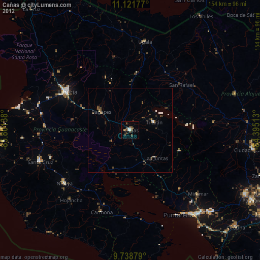
» Earth at Night: Flat Maps 2012, 2016