Sabanilla night lights from space
Night Light of Sabanilla (San José) from space (Costa Rica) Src. Average luminocity for 10x10km area is 95.4876% and for 50x50km: 28.5796%.
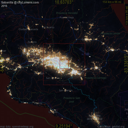
Analysis of Sabanilla night lights 2016
Square area 10x10 km:
 55.79%
90-99
28.1%80-89
7.64%70-79
5.17%60-69
2.07%50-59
0.83%40-49
0.41%30-39
0%20-29
0%10-19
0%0-9
0%Square area 50x50 km:
7.84%90-99
5.98%80-89
2.63%70-79
2.58%60-69
3.87%50-59
3.57%40-49
3.69%30-39
4.07%20-29
5.57%10-19
9.23%0-9
50.95%Clear (daylight) street map image can be seen on geolist.org.
Map coordinates:
10° 38' 13.3" North, 84° 44' 32.6" West
9° 56' 42.8" North, 84° 2' 21.4" West
9° 15' 7" North, 83° 20' 10.1" West
Some cities around Sabanilla sort by population:
• San Vicente de Moravia
2.1 km =1.3 mi,  330°
330°
• San Vicente
1.9 km =1.2 mi, 331°
• Purral
1.7 km =1.1 mi,  33°
33°
• San Pedro
2.3 km =1.4 mi,  213°
213°
• Ipís
3.8 km =2.4 mi,  49°
49°
• Guadalupe
1.9 km =1.2 mi,  279°
279°
• Calle Blancos
3 km =1.9 mi, 280°
• Granadilla
2.7 km =1.7 mi,  115°
115°
3622023 (p: 13,251)
Sources (retrieved 2019-11-25):
» Earth at Night: Flat Maps 2012, 2016