Calle Blancos night lights from space
Night Light of Calle Blancos (San José) from space (Costa Rica) Src. Average luminocity for 10x10km area is 97.1591% and for 50x50km: 29.882%.
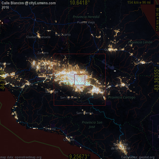
Analysis of Calle Blancos night lights 2016
Square area 10x10 km:
 68.8%
68.8%90-99
20.04%80-89
5.79%70-79
4.34%60-69
1.03%50-59
0%40-49
0%30-39
0%20-29
0%10-19
0%0-9
0%Square area 50x50 km:
7.89%90-99
6.16%80-89
2.89%70-79
2.69%60-69
4.17%50-59
4%40-49
4.15%30-39
4.44%20-29
5.91%10-19
9.06%0-9
48.66%Clear (daylight) street map image can be seen on geolist.org.
Map coordinates:
10° 38' 30.5" North, 84° 46' 11.3" West
9° 57' 0" North, 84° 4' 0" West
9° 15' 24.2" North, 83° 21' 48.8" West
Some cities around Calle Blancos sort by population:
• San José
2.6 km =1.6 mi,  224°
224°
• San Vicente
2.4 km =1.5 mi,  61°
61°
• San Vicente de Moravia
2.3 km =1.4 mi, 56°
• San Pedro
3 km =1.9 mi,  144°
144°
• San Juan
2 km =1.2 mi,  303°
303°
• Guadalupe
1.1 km =0.7 mi,  101°
101°
• Colima
2 km =1.2 mi,  272°
272°
• Sabanilla
3 km =1.9 mi, 100°
3624509 (p: 20,710)
Sources (retrieved 2019-11-25):
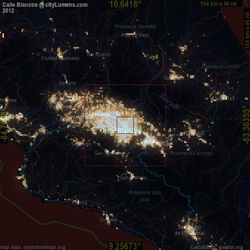
» Earth at Night: Flat Maps 2012, 2016