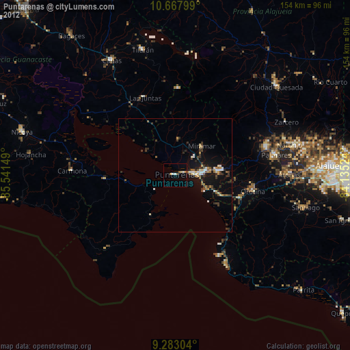
Puntarenas night lights from space
Night Light of Puntarenas from space (Costa Rica) Src. Average luminocity for 10x10km area is 5.3099% and for 50x50km: 4.3116%.

Analysis of Puntarenas night lights 2016
Square area 10x10 km:
 0.83%
0.83%90-99
0.83%80-89
0%70-79
0.83%60-69
0.83%50-59
0.62%40-49
1.03%30-39
0%20-29
0.83%10-19
0%0-9
94.21%Square area 50x50 km:
0.29%90-99
0.6%80-89
0.35%70-79
0.56%60-69
0.56%50-59
0.51%40-49
0.77%30-39
0.72%20-29
1.09%10-19
4.81%0-9
89.72%Clear (daylight) street map image can be seen on geolist.org.
Map coordinates:
10° 40' 4.8" North, 85° 32' 29.4" West
9° 58' 34.5" North, 84° 50' 18.1" West
9° 16' 58.9" North, 84° 8' 6.9" West
Some cities around Puntarenas sort by population:
• Chacarita
6.6 km =4.1 mi,  82°
82°
• Esparza
19.1 km =11.9 mi, 83°
• Desamparados
36.5 km =22.7 mi,  95°
95°
• Naranjo
52.2 km =32.4 mi,  74°
74°
• San Ramón
42.2 km =26.2 mi, 72°
• Atenas
50.3 km =31.3 mi,  90°
90°
• Miramar
17.6 km =10.9 mi,  42°
42°
• Orotina
35.2 km =21.9 mi, 101°
3622228 (p: 35,650)
Sources (retrieved 2019-11-25):
» Earth at Night: Flat Maps 2012, 2016