Chacarita night lights from space
Night Light of Chacarita (Puntarenas) from space (Costa Rica) Src. Average luminocity for 10x10km area is 17.2066% and for 50x50km: 4.8946%.
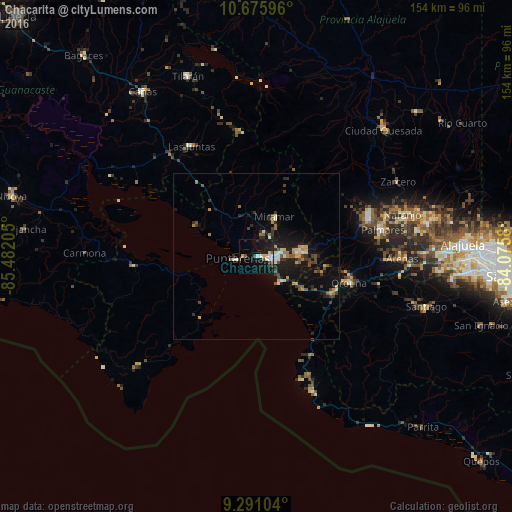
Analysis of Chacarita night lights 2016
Square area 10x10 km:
 2.27%
2.27%90-99
2.69%80-89
1.65%70-79
1.65%60-69
0.41%50-59
1.24%40-49
3.31%30-39
0.83%20-29
2.07%10-19
29.55%0-9
54.34%Square area 50x50 km:
0.29%90-99
0.62%80-89
0.37%70-79
0.72%60-69
0.59%50-59
0.59%40-49
0.89%30-39
0.9%20-29
1.3%10-19
5.02%0-9
88.7%Clear (daylight) street map image can be seen on geolist.org.
Map coordinates:
10° 40' 33.5" North, 85° 28' 55.4" West
9° 59' 3.3" North, 84° 46' 44.1" West
9° 17' 27.7" North, 84° 4' 32.9" West
Some cities around Chacarita sort by population:
• Puntarenas
6.6 km =4.1 mi,  262°
262°
• Esparza
12.6 km =7.8 mi,  84°
84°
• Desamparados
30.1 km =18.7 mi,  97°
97°
• Naranjo
45.7 km =28.4 mi,  73°
73°
• San Ramón
35.7 km =22.2 mi, 71°
• Atenas
43.8 km =27.2 mi,  91°
91°
• Miramar
13.2 km =8.2 mi,  24°
24°
• Orotina
29.1 km =18.1 mi,  106°
106°
3624288 (p: 26,354)
Sources (retrieved 2019-11-25):
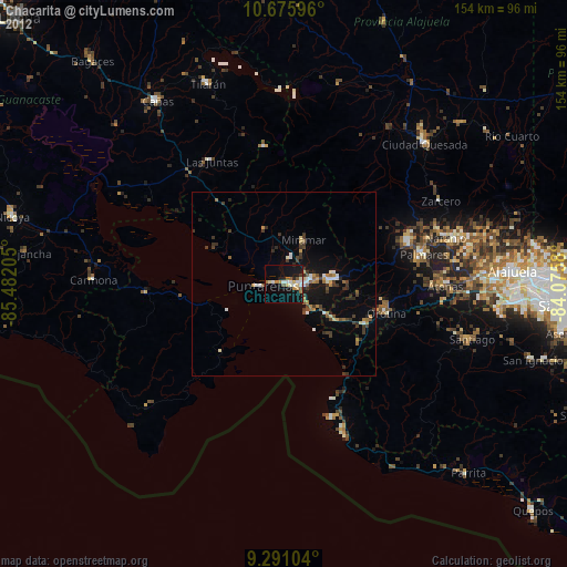
» Earth at Night: Flat Maps 2012, 2016