El Tambo night lights from space
Night Light of El Tambo (Cauca) from space (Colombia) Src. Average luminocity for 10x10km area is 1.6775% and for 50x50km: 3.2589%.
Analysis of El Tambo night lights 2016
Square area 10x10 km:
 0%
0%90-99
0%80-89
0.87%70-79
0%60-69
0%50-59
0%40-49
0.87%30-39
0.87%20-29
0.87%10-19
0%0-9
96.54%Square area 50x50 km:
0.45%90-99
0.48%80-89
0.42%70-79
0.3%60-69
0.54%50-59
0.3%40-49
0.41%30-39
0.64%20-29
1.08%10-19
2.3%0-9
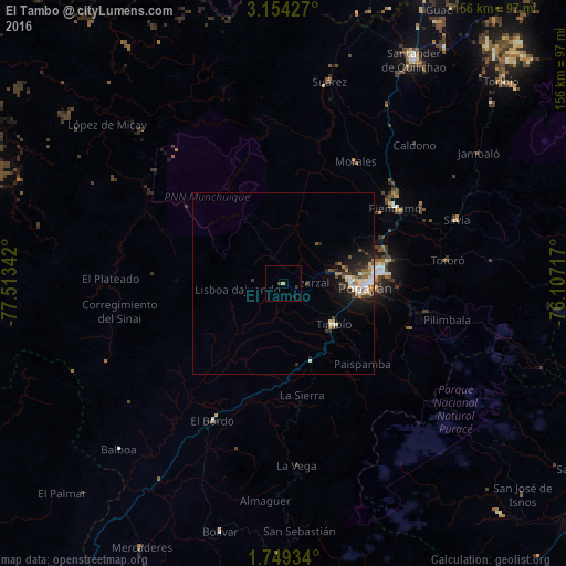
93.07%Clear (daylight) street map image can be seen on geolist.org.
Map coordinates:
3° 9' 15.4" North, 77° 30' 48.3" West
2° 27' 7.2" North, 76° 48' 37" West
1° 44' 57.6" North, 76° 6' 25.8" West
Some cities around El Tambo sort by population:
• Popayán
22 km =13.7 mi,  93°
93°
• Piendamo
37.4 km =23.2 mi,  56°
56°
• Morales
39.3 km =24.4 mi,  31°
31°
• Patía
50.4 km =31.3 mi,  212°
212°
• El Bordo
41.9 km =26 mi, 207°
• Suárez
57.2 km =35.5 mi,  12°
12°
• Villa Rica
8.2 km =5.1 mi,  327°
327°
• Silvia
50.9 km =31.6 mi,  69°
69°
3682963 (p: 6,355)
Sources (retrieved 2019-11-25):
» Earth at Night: Flat Maps 2012, 2016