Belén night lights from space
Night Light of Belén (Boyacá) from space (Colombia) Src. Average luminocity for 10x10km area is 2.6095% and for 50x50km: 3.8838%.
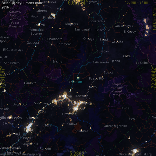
Analysis of Belén night lights 2016
Square area 10x10 km:
 0%
0%90-99
0%80-89
1.24%70-79
1.03%60-69
0.21%50-59
0%40-49
0%30-39
1.65%20-29
0%10-19
0%0-9
95.87%Square area 50x50 km:
0.38%90-99
0.39%80-89
0.38%70-79
0.34%60-69
0.75%50-59
0.91%40-49
0.39%30-39
0.83%20-29
0.57%10-19
4.85%0-9
90.22%Clear (daylight) street map image can be seen on geolist.org.
Map coordinates:
6° 41' 15.9" North, 73° 36' 56.4" West
5° 59' 20.1" North, 72° 54' 45.1" West
5° 17' 21.1" North, 72° 12' 33.9" West
Some cities around Belén sort by population:
• Sogamoso
30.6 km =19 mi,  184°
184°
• Duitama
22.7 km =14.1 mi,  216°
216°
• Socorro
65.7 km =40.8 mi,  324°
324°
• Paipa
32.4 km =20.1 mi, 224°
• Soatá
46 km =28.6 mi,  33°
33°
• Santa Rosa de Viterbo
14.9 km =9.3 mi,  211°
211°
• Aquitania
52.4 km =32.6 mi, 176°
• Pesca
51.1 km =31.8 mi,  197°
197°
3689003 (p: 5,411)
Sources (retrieved 2019-11-25):
» Earth at Night: Flat Maps 2012, 2016