Los Patios night lights from space
Night Light of Los Patios (Norte de Santander) from space (Colombia) Src. Average luminocity for 10x10km area is 60.6281% and for 50x50km: 10.5508%.
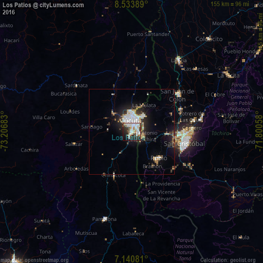
Analysis of Los Patios night lights 2016
Square area 10x10 km:
 20.66%
90-99
15.7%80-89
6.61%70-79
4.34%60-69
4.34%50-59
3.72%40-49
3.93%30-39
9.09%20-29
16.12%10-19
12.6%0-9
2.89%Square area 50x50 km:
2.31%90-99
2.07%80-89
0.75%70-79
1.02%60-69
1.09%50-59
0.68%40-49
0.97%30-39
2.23%20-29
3.04%10-19
6.25%0-9
79.6%Clear (daylight) street map image can be seen on geolist.org.
Map coordinates:
8° 32' 2" North, 73° 12' 24.6" West
7° 50' 16.5" North, 72° 30' 13.3" West
7° 8' 26.9" North, 71° 48' 2.1" West
Some cities around Los Patios sort by population:
• Cúcuta
6.2 km =3.9 mi,  355°
355°
• San Cristóbal, VE
31.7 km =19.7 mi,  104°
104°
• Villa del Rosario
3.3 km =2.1 mi, 97°
• Rubio, VE
22.3 km =13.9 mi,  132°
132°
• San Antonio del Táchira, VE
7.2 km =4.5 mi,  111°
111°
• Táriba, VE
30.9 km =19.2 mi,  93°
93°
• El Zulia
15 km =9.3 mi,  314°
314°
• Chinácota
27.8 km =17.3 mi,  202°
202°
3675975 (p: 58,661)
Sources (retrieved 2019-11-25):
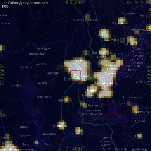
» NASA, Earths city lights 1995
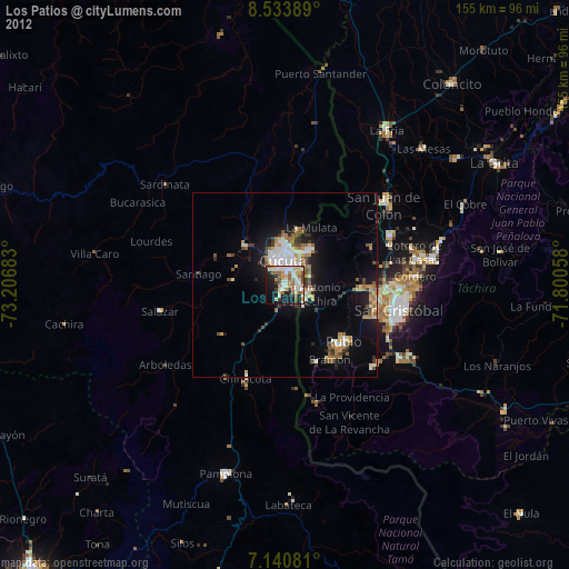
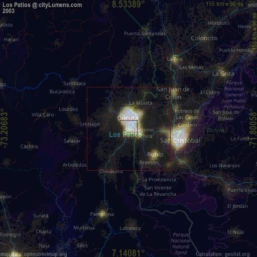
» NASA city lights 2003
» Earth at Night: Flat Maps 2012, 2016