Morales night lights from space
Night Light of Morales (Cauca) from space (Colombia) Src. Average luminocity for 10x10km area is 1.5433% and for 50x50km: 1.5627%.
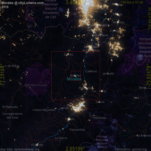
Analysis of Morales night lights 2016
Square area 10x10 km:
 0%
0%90-99
0%80-89
0%70-79
0.87%60-69
0.87%50-59
0%40-49
0%30-39
0%20-29
0.87%10-19
0%0-9
97.4%Square area 50x50 km:
0.03%90-99
0.08%80-89
0.1%70-79
0.12%60-69
0.22%50-59
0.41%40-49
0.59%30-39
0.39%20-29
0.31%10-19
0.36%0-9
97.4%Clear (daylight) street map image can be seen on geolist.org.
Map coordinates:
3° 27' 23.6" North, 77° 19' 51.7" West
2° 45' 16.1" North, 76° 37' 40.5" West
2° 3' 7.1" North, 75° 55' 29.2" West
Some cities around Morales sort by population:
• Popayán
35.2 km =21.9 mi,  177°
177°
• Piendamo
16.8 km =10.4 mi,  139°
139°
• Santander de Quilichao
32.5 km =20.2 mi,  29°
29°
• Suárez
23.5 km =14.6 mi,  341°
341°
• Villa Rica
36.3 km =22.6 mi,  222°
222°
• Silvia
31.3 km =19.4 mi,  119°
119°
• Caloto
39.7 km =24.7 mi,  37°
37°
• El Tambo
39.3 km =24.4 mi,  211°
211°
3770718 (p: 29,617)
Sources (retrieved 2019-11-25):
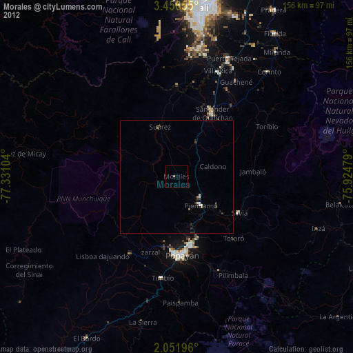
» Earth at Night: Flat Maps 2012, 2016