Piendamo night lights from space
Night Light of Piendamo (Cauca) from space (Colombia) Src. Average luminocity for 10x10km area is 15.3485% and for 50x50km: 5.4185%.
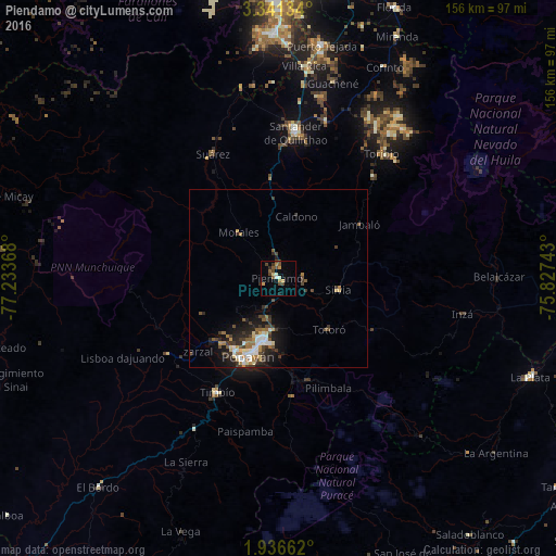
Analysis of Piendamo night lights 2016
Square area 10x10 km:
 0.65%
0.65%90-99
1.95%80-89
1.73%70-79
2.16%60-69
1.3%50-59
3.46%40-49
5.63%30-39
1.52%20-29
1.3%10-19
0.87%0-9
79.44%Square area 50x50 km:
0.65%90-99
0.85%80-89
0.52%70-79
0.53%60-69
0.82%50-59
0.77%40-49
1.06%30-39
1.26%20-29
1.45%10-19
2.95%0-9
89.13%Clear (daylight) street map image can be seen on geolist.org.
Map coordinates:
3° 20' 28.8" North, 77° 14' 1.2" West
2° 38' 21" North, 76° 31' 50" West
1° 56' 11.8" North, 75° 49' 38.7" West
Some cities around Piendamo sort by population:
• Popayán
24.2 km =15 mi,  202°
202°
• Santander de Quilichao
41.5 km =25.8 mi,  7°
7°
• Morales
16.8 km =10.4 mi,  319°
319°
• Suárez
39.6 km =24.6 mi,  332°
332°
• Villa Rica
38 km =23.6 mi,  248°
248°
• Silvia
16.6 km =10.3 mi,  99°
99°
• Caloto
46.2 km =28.7 mi,  17°
17°
• El Tambo
37.4 km =23.2 mi,  236°
236°
8633918 (p: 44,000)
Sources (retrieved 2019-11-25):
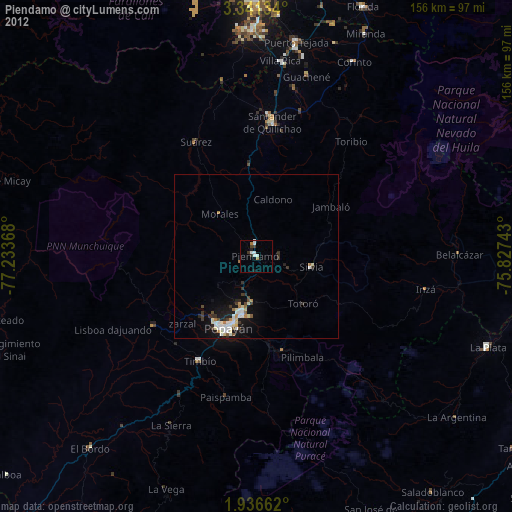
» Earth at Night: Flat Maps 2012, 2016