Santa Fe de Antioquia night lights from space
Night Light of Santa Fe de Antioquia (Antioquia) from space (Colombia) Src. Average luminocity for 10x10km area is 33.7208% and for 50x50km: 6.1886%.
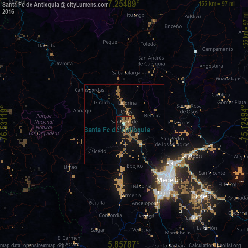
Analysis of Santa Fe de Antioquia night lights 2016
Square area 10x10 km:
 1.3%
1.3%90-99
1.3%80-89
0.87%70-79
6.71%60-69
13.64%50-59
17.75%40-49
0%30-39
0%20-29
1.52%10-19
35.71%0-9
21.21%Square area 50x50 km:
0.1%90-99
0.11%80-89
0.07%70-79
1.25%60-69
1.92%50-59
3.18%40-49
0%30-39
0.1%20-29
0.31%10-19
5.71%0-9
87.25%Clear (daylight) street map image can be seen on geolist.org.
Map coordinates:
7° 15' 17.6" North, 76° 31' 52.3" West
6° 33' 24.7" North, 75° 49' 41" West
5° 51' 28.3" North, 75° 7' 29.8" West
Some cities around Santa Fe de Antioquia sort by population:
• Medellín
44.8 km =27.8 mi,  139°
139°
• Bello
38.6 km =24 mi,  129°
129°
• Copacabana
42.3 km =26.3 mi,  123°
123°
• Urrao
43.1 km =26.8 mi,  231°
231°
• Donmatías
48.5 km =30.1 mi,  99°
99°
• San Pedro
31.7 km =19.7 mi,  109°
109°
• Frontino
41.3 km =25.7 mi,  305°
305°
• Cañasgordas
30.6 km =19 mi, 314°
3689816 (p: 11,829)
Sources (retrieved 2019-11-25):
» Earth at Night: Flat Maps 2012, 2016