San Pedro night lights from space
Night Light of San Pedro (Sucre) from space (Colombia) Src. Average luminocity for 10x10km area is 2.9762% and for 50x50km: 0.9076%.
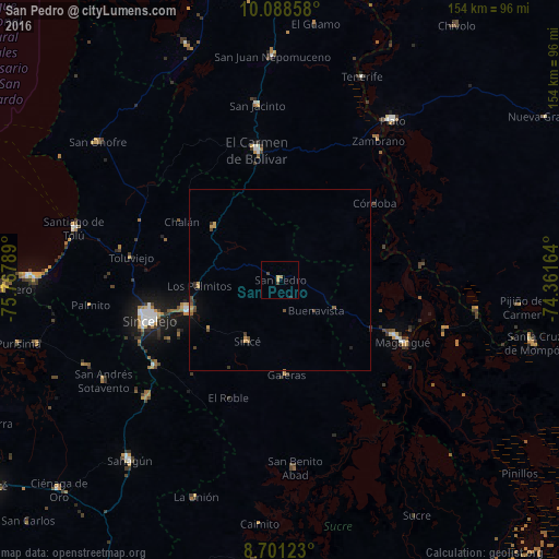
Analysis of San Pedro night lights 2016
Square area 10x10 km:
 0%
0%90-99
0%80-89
0%70-79
1.73%60-69
0.65%50-59
0.22%40-49
0.87%30-39
0.87%20-29
0.43%10-19
0%0-9
95.24%Square area 50x50 km:
0.02%90-99
0.02%80-89
0.02%70-79
0.37%60-69
0.12%50-59
0.14%40-49
0.31%30-39
0.21%20-29
0.15%10-19
0.15%0-9
98.5%Clear (daylight) street map image can be seen on geolist.org.
Map coordinates:
10° 5' 18.9" North, 75° 46' 4.4" West
9° 23' 44.2" North, 75° 3' 53.1" West
8° 42' 4.4" North, 74° 21' 41.9" West
Some cities around San Pedro sort by population:
• El Carmen de Bolívar
36.3 km =22.6 mi,  350°
350°
• Corozal
26.5 km =16.5 mi,  251°
251°
• San Luis de Sincé
19.1 km =11.9 mi,  208°
208°
• Los Palmitos
22.3 km =13.9 mi,  265°
265°
• Ovejas
23.2 km =14.4 mi,  309°
309°
• Galeras
26.2 km =16.3 mi,  175°
175°
• San Juan de Betulia
23.6 km =14.7 mi,  234°
234°
• Córdoba
33.6 km =20.9 mi,  50°
50°
3669128 (p: 11,489)
Sources (retrieved 2019-11-25):
» Earth at Night: Flat Maps 2012, 2016