Galeras night lights from space
Night Light of Galeras (Sucre) from space (Colombia) Src. Average luminocity for 10x10km area is 1.9307% and for 50x50km: 0.5398%.
Analysis of Galeras night lights 2016
Square area 10x10 km:
 0%
0%90-99
0%80-89
0%70-79
0.87%60-69
0.87%50-59
0%40-49
0.87%30-39
0.87%20-29
0%10-19
0%0-9
96.54%Square area 50x50 km:
0%90-99
0%80-89
0%70-79
0.16%60-69
0.09%50-59
0.07%40-49
0.17%30-39
0.21%20-29
0.17%10-19
0.08%0-9
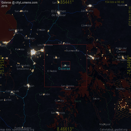
99.05%Clear (daylight) street map image can be seen on geolist.org.
Map coordinates:
9° 51' 15.9" North, 75° 45' 4.5" West
9° 9' 39.4" North, 75° 2' 53.2" West
8° 27' 58.1" North, 74° 20' 42" West
Some cities around Galeras sort by population:
• Magangué
33.4 km =20.8 mi,  74°
74°
• Corozal
32.1 km =19.9 mi,  303°
303°
• San Luis de Sincé
14.2 km =8.8 mi,  310°
310°
• Sampués
36.7 km =22.8 mi,  273°
273°
• San Benito Abad
25.9 km =16.1 mi,  174°
174°
• Los Palmitos
34.2 km =21.3 mi,  315°
315°
• San Pedro
26.2 km =16.3 mi,  355°
355°
• San Juan de Betulia
24.6 km =15.3 mi, 300°
3682232 (p: 9,459)
Sources (retrieved 2019-11-25):
» Earth at Night: Flat Maps 2012, 2016