San Luis de Sincé night lights from space
Night Light of San Luis de Sincé (Sucre) from space (Colombia) Src. Average luminocity for 10x10km area is 3.1494% and for 50x50km: 2.0893%.
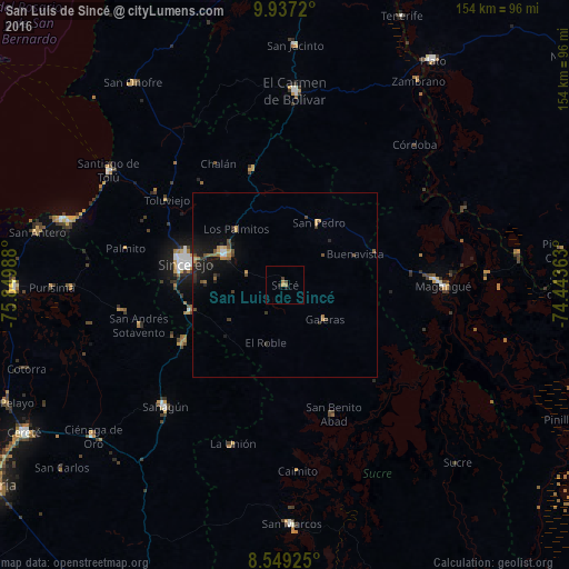
Analysis of San Luis de Sincé night lights 2016
Square area 10x10 km:
 0%
0%90-99
0%80-89
0%70-79
1.52%60-69
1.08%50-59
0%40-49
1.08%30-39
0.65%20-29
0.87%10-19
0.87%0-9
93.94%Square area 50x50 km:
0.11%90-99
0.08%80-89
0.08%70-79
0.42%60-69
0.46%50-59
0.26%40-49
0.43%30-39
0.45%20-29
0.5%10-19
2.22%0-9
95%Clear (daylight) street map image can be seen on geolist.org.
Map coordinates:
9° 56' 13.9" North, 75° 50' 59.6" West
9° 14' 38.1" North, 75° 8' 48.3" West
8° 32' 57.3" North, 74° 26' 37.1" West
Some cities around San Luis de Sincé sort by population:
• Sincelejo
28.4 km =17.6 mi,  283°
283°
• Corozal
18.1 km =11.2 mi,  297°
297°
• Sampués
26.6 km =16.5 mi,  255°
255°
• Chinú
31.6 km =19.6 mi,  240°
240°
• Los Palmitos
20 km =12.4 mi,  318°
318°
• San Pedro
19.1 km =11.9 mi,  28°
28°
• Galeras
14.2 km =8.8 mi,  130°
130°
• San Juan de Betulia
10.9 km =6.8 mi,  287°
287°
3667991 (p: 30,768)
Sources (retrieved 2019-11-25):
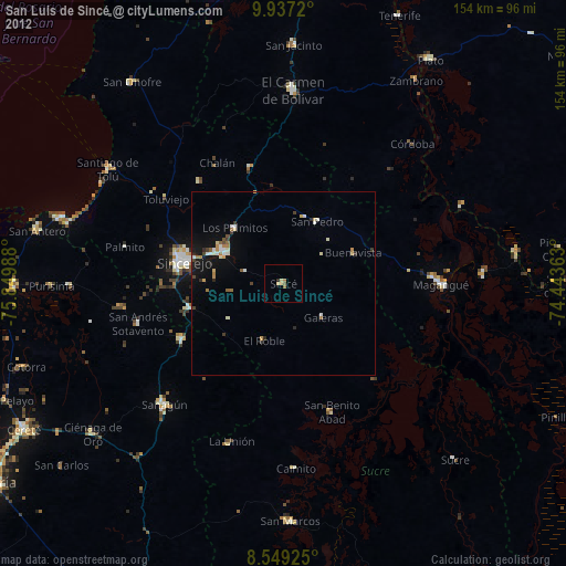
» Earth at Night: Flat Maps 2012, 2016