Los Palmitos night lights from space
Night Light of Los Palmitos (Sucre) from space (Colombia) Src. Average luminocity for 10x10km area is 5.9199% and for 50x50km: 4.3413%.
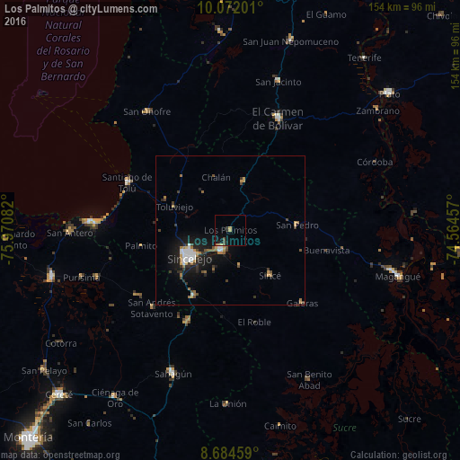
Analysis of Los Palmitos night lights 2016
Square area 10x10 km:
 0%
0%90-99
0%80-89
0.43%70-79
2.16%60-69
0.43%50-59
0.43%40-49
1.73%30-39
0.65%20-29
1.95%10-19
3.25%0-9
88.96%Square area 50x50 km:
0.65%90-99
0.48%80-89
0.14%70-79
0.7%60-69
0.91%50-59
0.25%40-49
0.61%30-39
0.86%20-29
0.84%10-19
4.06%0-9
90.51%Clear (daylight) street map image can be seen on geolist.org.
Map coordinates:
10° 4' 19.2" North, 75° 58' 15" West
9° 22' 44.4" North, 75° 16' 3.7" West
8° 41' 4.5" North, 74° 33' 52.5" West
Some cities around Los Palmitos sort by population:
• Sincelejo
16.5 km =10.3 mi,  239°
239°
• Corozal
7.3 km =4.5 mi,  202°
202°
• San Luis de Sincé
20 km =12.4 mi,  138°
138°
• Sampués
25.1 km =15.6 mi,  209°
209°
• Ovejas
17 km =10.6 mi,  14°
14°
• San Pedro
22.3 km =13.9 mi,  85°
85°
• San Juan de Betulia
12.1 km =7.5 mi,  166°
166°
• Tolú Viejo
20.4 km =12.7 mi,  293°
293°
3675987 (p: 14,385)
Sources (retrieved 2019-11-25):
» Earth at Night: Flat Maps 2012, 2016