El Carmen de Bolívar night lights from space
Night Light of El Carmen de Bolívar (Bolívar) from space (Colombia) Src. Average luminocity for 10x10km area is 10.1212% and for 50x50km: 0.744%.
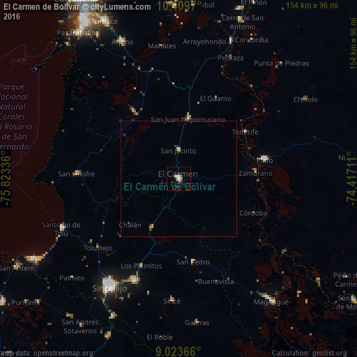
Analysis of El Carmen de Bolívar night lights 2016
Square area 10x10 km:
 1.3%
1.3%90-99
3.03%80-89
0%70-79
1.95%60-69
0.65%50-59
0.87%40-49
0.43%30-39
3.9%20-29
0.22%10-19
0.65%0-9
87.01%Square area 50x50 km:
0.06%90-99
0.18%80-89
0.02%70-79
0.19%60-69
0.06%50-59
0.05%40-49
0.1%30-39
0.27%20-29
0.07%10-19
0.03%0-9
98.99%Clear (daylight) street map image can be seen on geolist.org.
Map coordinates:
10° 24' 34.9" North, 75° 49' 24.1" West
9° 43' 2.6" North, 75° 7' 12.8" West
9° 1' 25.2" North, 74° 25' 1.6" West
Some cities around El Carmen de Bolívar sort by population:
• Plato
37.9 km =23.5 mi,  77°
77°
• San Juan Nepomuceno
26.4 km =16.4 mi,  9°
9°
• María la Baja
35.6 km =22.1 mi,  326°
326°
• San Jacinto
12.3 km =7.6 mi,  359°
359°
• Ovejas
24.3 km =15.1 mi,  209°
209°
• San Pedro
36.3 km =22.6 mi,  170°
170°
• Zambrano
33.5 km =20.8 mi, 84°
• Córdoba
35.3 km =21.9 mi,  114°
114°
3684666 (p: 47,957)
Sources (retrieved 2019-11-25):
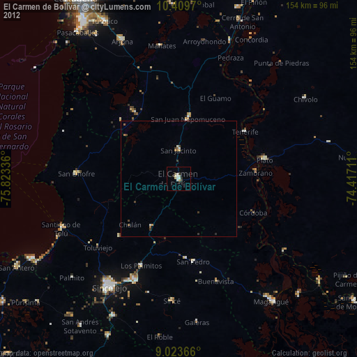
» Earth at Night: Flat Maps 2012, 2016