San Onofre night lights from space
Night Light of San Onofre (Sucre) from space (Colombia) Src. Average luminocity for 10x10km area is 4.1602% and for 50x50km: 0.5189%.
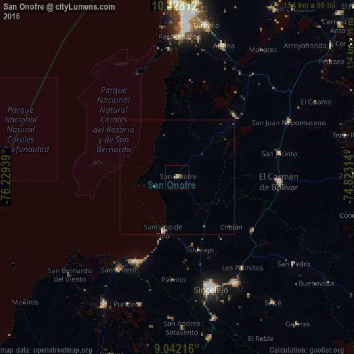
Analysis of San Onofre night lights 2016
Square area 10x10 km:
 0%
0%90-99
0%80-89
0%70-79
2.6%60-69
0.65%50-59
1.08%40-49
0%30-39
0.87%20-29
1.3%10-19
0%0-9
93.51%Square area 50x50 km:
0.06%90-99
0.04%80-89
0%70-79
0.14%60-69
0.12%50-59
0.04%40-49
0.1%30-39
0.17%20-29
0.15%10-19
0.01%0-9
99.17%Clear (daylight) street map image can be seen on geolist.org.
Map coordinates:
10° 25' 41.2" North, 76° 13' 45.8" West
9° 44' 9.1" North, 75° 31' 34.5" West
9° 2' 31.8" North, 74° 49' 23.3" West
Some cities around San Onofre sort by population:
• El Carmen de Bolívar
44.5 km =27.7 mi,  92°
92°
• Santiago de Tolú
24.3 km =15.1 mi,  194°
194°
• María la Baja
36.9 km =22.9 mi,  41°
41°
• San Jacinto
45.5 km =28.3 mi,  77°
77°
• San Pablo
45.1 km =28 mi, 38°
• Ovejas
40 km =24.9 mi,  125°
125°
• Tolú Viejo
33.1 km =20.6 mi,  163°
163°
• Palmito
44.9 km =27.9 mi,  182°
182°
3669218 (p: 32,957)
Sources (retrieved 2019-11-25):
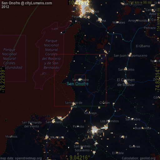
» Earth at Night: Flat Maps 2012, 2016