San Jacinto night lights from space
Night Light of San Jacinto (Bolívar) from space (Colombia) Src. Average luminocity for 10x10km area is 3.8831% and for 50x50km: 1.0868%.
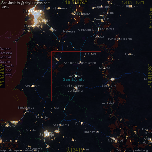
Analysis of San Jacinto night lights 2016
Square area 10x10 km:
 0.22%
0.22%90-99
1.52%80-89
0%70-79
0.87%60-69
0.87%50-59
0%40-49
0%30-39
0.87%20-29
0.87%10-19
0%0-9
94.81%Square area 50x50 km:
0.09%90-99
0.21%80-89
0.03%70-79
0.23%60-69
0.18%50-59
0.07%40-49
0.12%30-39
0.41%20-29
0.23%10-19
0.09%0-9
98.35%Clear (daylight) street map image can be seen on geolist.org.
Map coordinates:
10° 31' 11.1" North, 75° 49' 29.4" West
9° 49' 39.6" North, 75° 7' 18.1" West
9° 8' 2.9" North, 74° 25' 6.9" West
Some cities around San Jacinto sort by population:
• Plato
37.4 km =23.2 mi,  96°
96°
• El Carmen de Bolívar
12.3 km =7.6 mi,  179°
179°
• San Onofre
45.5 km =28.3 mi,  257°
257°
• María la Baja
26.2 km =16.3 mi,  311°
311°
• San Pablo
29.6 km =18.4 mi,  327°
327°
• Ovejas
35.4 km =22 mi,  199°
199°
• Zambrano
34.7 km =21.6 mi, 104°
• Córdoba
42 km =26.1 mi,  129°
129°
3669736 (p: 20,265)
Sources (retrieved 2019-11-25):
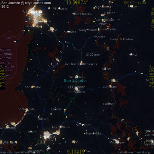
» Earth at Night: Flat Maps 2012, 2016