Santiago de Tolú night lights from space
Night Light of Santiago de Tolú (Sucre) from space (Colombia) Src. Average luminocity for 10x10km area is 7.6861% and for 50x50km: 3.1042%.
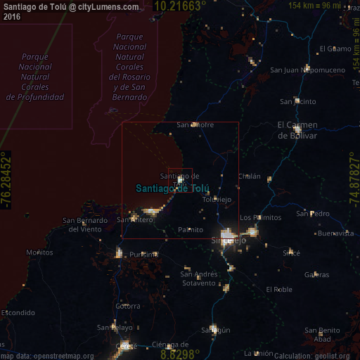
Analysis of Santiago de Tolú night lights 2016
Square area 10x10 km:
 1.52%
1.52%90-99
1.08%80-89
0%70-79
1.95%60-69
1.52%50-59
0%40-49
1.73%30-39
0.87%20-29
0.87%10-19
0.22%0-9
90.26%Square area 50x50 km:
0.42%90-99
0.34%80-89
0.2%70-79
0.57%60-69
0.6%50-59
0.11%40-49
0.34%30-39
0.68%20-29
0.66%10-19
1.68%0-9
94.39%Clear (daylight) street map image can be seen on geolist.org.
Map coordinates:
10° 12' 59.9" North, 76° 17' 4.3" West
9° 31' 26.1" North, 75° 34' 53" West
8° 49' 47.3" North, 74° 52' 41.8" West
Some cities around Santiago de Tolú sort by population:
• Sincelejo
31.6 km =19.6 mi,  140°
140°
• San Onofre
24.3 km =15.1 mi,  14°
14°
• Los Palmitos
38 km =23.6 mi,  115°
115°
• San Antero
25.6 km =15.9 mi,  229°
229°
• Tolú Viejo
17.6 km =10.9 mi, 117°
• Purísima de la Concepción
35.5 km =22.1 mi,  205°
205°
• Momil
33.4 km =20.8 mi,  197°
197°
• Palmito
21.8 km =13.5 mi,  168°
168°
3666939 (p: 27,390)
Sources (retrieved 2019-11-25):
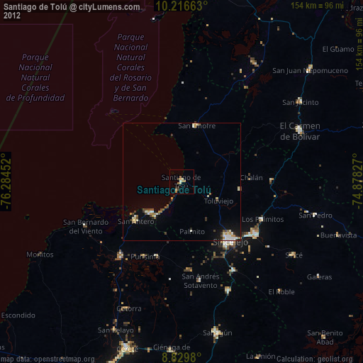
» Earth at Night: Flat Maps 2012, 2016