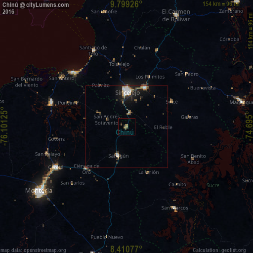
Chinú night lights from space
Night Light of Chinú (Córdoba) from space (Colombia) Src. Average luminocity for 10x10km area is 6.5022% and for 50x50km: 3.9802%.
Analysis of Chinú night lights 2016
Square area 10x10 km:
 0%
0%90-99
0%80-89
0%70-79
1.73%60-69
2.6%50-59
1.3%40-49
3.03%30-39
0.87%20-29
0%10-19
0.65%0-9
89.83%Square area 50x50 km:
0.7%90-99
0.53%80-89
0.11%70-79
0.56%60-69
0.88%50-59
0.25%40-49
0.57%30-39
0.81%20-29
0.65%10-19
2.85%0-9
92.1%Clear (daylight) street map image can be seen on geolist.org.
Map coordinates:
9° 47' 57.3" North, 76° 6' 4.5" West
9° 6' 20.5" North, 75° 23' 53.2" West
8° 24' 38.8" North, 74° 41' 42" West
Some cities around Chinú sort by population:
• Sincelejo
22.1 km =13.7 mi,  0°
0°
• Sahagún
18.4 km =11.4 mi,  195°
195°
• Corozal
26.3 km =16.3 mi,  25°
25°
• San Luis de Sincé
31.6 km =19.6 mi,  60°
60°
• Sampués
8.9 km =5.5 mi,  11°
11°
• Los Palmitos
33.6 km =20.9 mi, 25°
• San Juan de Betulia
25.4 km =15.8 mi,  42°
42°
• Palmito
29.7 km =18.5 mi,  327°
327°
3686540 (p: 19,596)
Sources (retrieved 2019-11-25):
» Earth at Night: Flat Maps 2012, 2016