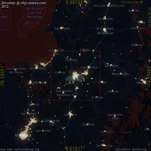
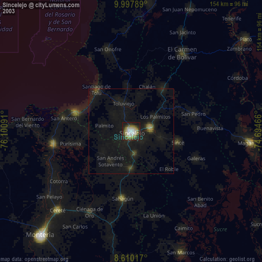
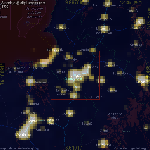
Sincelejo night lights from space
Night Light of Sincelejo (Sucre) from space (Colombia) Src. Average luminocity for 10x10km area is 45.5584% and for 50x50km: 4.6585%.
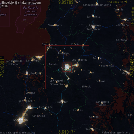
Analysis of Sincelejo night lights 2016
Square area 10x10 km:
 13.64%
90-99
10.61%80-89
1.73%70-79
4.33%60-69
7.79%50-59
0%40-49
1.73%30-39
6.49%20-29
9.74%10-19
42.42%0-9
1.52%Square area 50x50 km:
0.69%90-99
0.5%80-89
0.12%70-79
0.7%60-69
1%50-59
0.3%40-49
0.62%30-39
0.97%20-29
0.99%10-19
4.15%0-9
89.97%Clear (daylight) street map image can be seen on geolist.org.
Map coordinates:
9° 59' 52.4" North, 76° 6' 3.3" West
9° 18' 17" North, 75° 23' 52" West
8° 36' 36.6" North, 74° 41' 40.8" West
Some cities around Sincelejo sort by population:
• Corozal
11.6 km =7.2 mi,  82°
82°
• San Luis de Sincé
28.4 km =17.6 mi,  103°
103°
• Sampués
13.6 km =8.5 mi,  172°
172°
• Chinú
22.1 km =13.7 mi,  180°
180°
• Los Palmitos
16.5 km =10.3 mi,  59°
59°
• San Juan de Betulia
17.5 km =10.9 mi, 101°
• Tolú Viejo
16.9 km =10.5 mi,  344°
344°
• Palmito
16.1 km =10 mi,  280°
280°
3667983 (p: 261,187)
Sources (retrieved 2019-11-25):
» NASA, Earths city lights 1995
» NASA city lights 2003
» Earth at Night: Flat Maps 2012, 2016