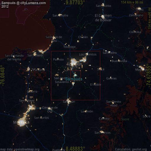
Sampués night lights from space
Night Light of Sampués (Sucre) from space (Colombia) Src. Average luminocity for 10x10km area is 7.184% and for 50x50km: 4.3272%.

Analysis of Sampués night lights 2016
Square area 10x10 km:
 0.65%
0.65%90-99
0.22%80-89
0%70-79
0.87%60-69
3.46%50-59
0%40-49
2.6%30-39
0.87%20-29
0.43%10-19
0.43%0-9
90.48%Square area 50x50 km:
0.65%90-99
0.49%80-89
0.11%70-79
0.65%60-69
0.91%50-59
0.27%40-49
0.56%30-39
0.83%20-29
0.85%10-19
4.05%0-9
90.62%Clear (daylight) street map image can be seen on geolist.org.
Map coordinates:
9° 52' 37.3" North, 76° 5' 5.3" West
9° 11' 1" North, 75° 22' 54" West
8° 29' 19.8" North, 74° 40' 42.8" West
Some cities around Sampués sort by population:
• Sincelejo
13.6 km =8.5 mi,  352°
352°
• Sahagún
27.2 km =16.9 mi,  194°
194°
• Corozal
17.9 km =11.1 mi,  32°
32°
• San Luis de Sincé
26.6 km =16.5 mi,  75°
75°
• Chinú
8.9 km =5.5 mi, 191°
• Los Palmitos
25.1 km =15.6 mi, 29°
• San Juan de Betulia
18.4 km =11.4 mi,  57°
57°
• Palmito
24.1 km =15 mi,  313°
313°
3670280 (p: 21,204)
Sources (retrieved 2019-11-25):
» Earth at Night: Flat Maps 2012, 2016