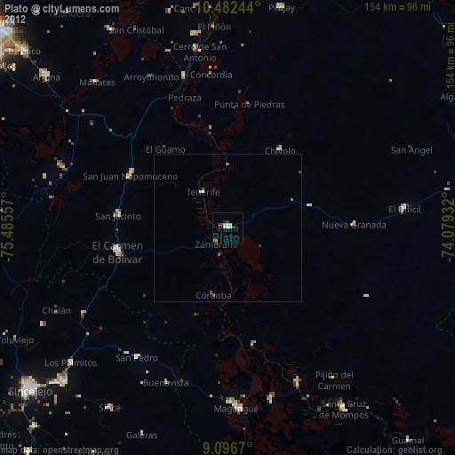
Plato night lights from space
Night Light of Plato (Magdalena) from space (Colombia) Src. Average luminocity for 10x10km area is 10.8485% and for 50x50km: 0.6671%.
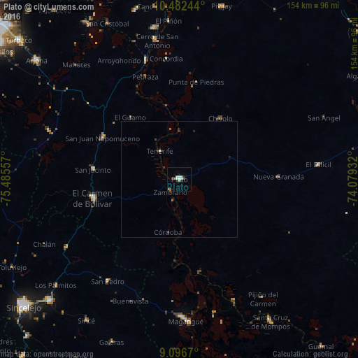
Analysis of Plato night lights 2016
Square area 10x10 km:
 1.52%
1.52%90-99
2.81%80-89
0.87%70-79
0.87%60-69
1.3%50-59
1.73%40-49
1.3%30-39
1.73%20-29
0%10-19
0.87%0-9
87.01%Square area 50x50 km:
0.06%90-99
0.14%80-89
0.03%70-79
0.03%60-69
0.08%50-59
0.13%40-49
0.08%30-39
0.2%20-29
0.17%10-19
0.07%0-9
99%Clear (daylight) street map image can be seen on geolist.org.
Map coordinates:
10° 28' 56.8" North, 75° 29' 8.1" West
9° 47' 25" North, 74° 46' 56.8" West
9° 5' 48.1" North, 74° 4' 45.6" West
Some cities around Plato sort by population:
• El Carmen de Bolívar
37.9 km =23.5 mi,  257°
257°
• San Juan Nepomuceno
37.4 km =23.2 mi,  298°
298°
• San Jacinto
37.4 km =23.2 mi,  276°
276°
• Chivolo
31.4 km =19.5 mi,  33°
33°
• Zambrano
6 km =3.7 mi,  217°
217°
• San Antonio
18.6 km =11.6 mi, 31°
• Concordia
36.2 km =22.5 mi,  82°
82°
• Córdoba
23.2 km =14.4 mi,  192°
192°
3792392 (p: 48,606)
Sources (retrieved 2019-11-25):
» Earth at Night: Flat Maps 2012, 2016