San Roque night lights from space
Night Light of San Roque (Antioquia) from space (Colombia) Src. Average luminocity for 10x10km area is 1.2316% and for 50x50km: 1.4103%.
Analysis of San Roque night lights 2016
Square area 10x10 km:
 0%
0%90-99
0%80-89
0%70-79
0%60-69
0%50-59
0.87%40-49
0.22%30-39
1.52%20-29
0%10-19
0%0-9
97.4%Square area 50x50 km:
0%90-99
0%80-89
0.02%70-79
0.8%60-69
0.43%50-59
0.16%40-49
0.08%30-39
0.3%20-29
0.02%10-19
0.32%0-9
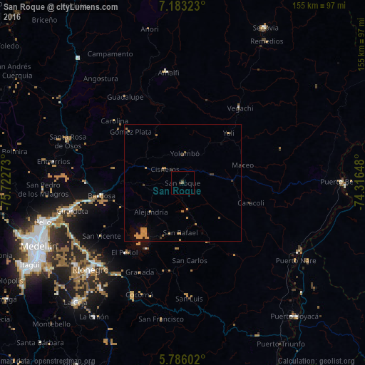
97.86%Clear (daylight) street map image can be seen on geolist.org.
Map coordinates:
7° 10' 59.6" North, 75° 43' 21.8" West
6° 29' 6.4" North, 75° 1' 10.6" West
5° 47' 9.7" North, 74° 18' 59.3" West
Some cities around San Roque sort by population:
• Barbosa
34.8 km =21.6 mi,  261°
261°
• Donmatías
41.5 km =25.8 mi,  270°
270°
• Vegachí
39.5 km =24.5 mi,  38°
38°
• Cisneros
9.7 km =6 mi,  307°
307°
• San Carlos
33.2 km =20.6 mi,  174°
174°
• Yolombó
12.6 km =7.8 mi,  4°
4°
• Guatapé
32.1 km =19.9 mi,  209°
209°
• San Vicente
41.2 km =25.6 mi,  237°
237°
3669011 (p: 5,576)
Sources (retrieved 2019-11-25):
» Earth at Night: Flat Maps 2012, 2016