Quimbaya night lights from space
Night Light of Quimbaya (Quindío) from space (Colombia) Src. Average luminocity for 10x10km area is 7.3347% and for 50x50km: 13.3567%.
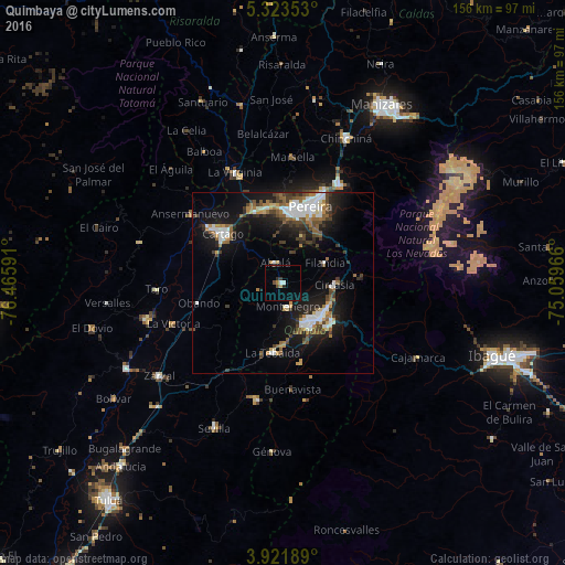
Analysis of Quimbaya night lights 2016
Square area 10x10 km:
 0.62%
0.62%90-99
1.03%80-89
0%70-79
1.24%60-69
0.41%50-59
0.21%40-49
1.45%30-39
2.48%20-29
0.83%10-19
0.41%0-9
91.32%Square area 50x50 km:
2.29%90-99
2.19%80-89
0.74%70-79
1.16%60-69
1.78%50-59
1.99%40-49
2.27%30-39
2.36%20-29
3.02%10-19
10.49%0-9
71.72%Clear (daylight) street map image can be seen on geolist.org.
Map coordinates:
5° 19' 24.7" North, 76° 27' 57.3" West
4° 37' 23" North, 75° 45' 46" West
3° 55' 18.8" North, 75° 3' 34.8" West
Some cities around Quimbaya sort by population:
• Armenia
13.4 km =8.3 mi,  137°
137°
• Cartago
21.5 km =13.4 mi,  309°
309°
• Calarcá
17 km =10.6 mi,  127°
127°
• Montenegro
6.4 km =4 mi,  168°
168°
• La Tebaida
19.1 km =11.9 mi,  188°
188°
• Circasia
14.1 km =8.8 mi,  91°
91°
• Alcalá
6.1 km =3.8 mi,  339°
339°
• Filandia
12.9 km =8 mi,  63°
63°
3671098 (p: 31,391)
Sources (retrieved 2019-11-25):
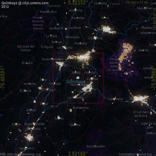
» Earth at Night: Flat Maps 2012, 2016