Alcalá night lights from space
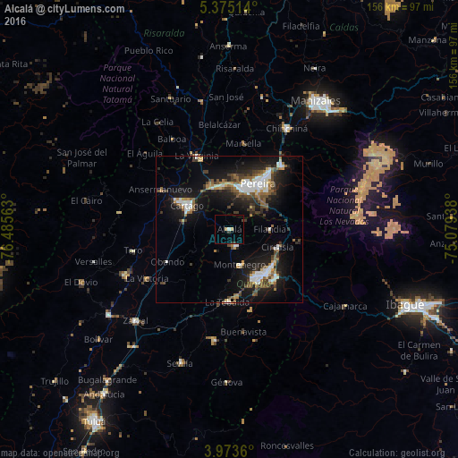
Night Light of Alcalá (Valle del Cauca) from space (Colombia) Src. Average luminocity for 10x10km area is 4.8967% and for 50x50km: 14.5825%.
Analysis of Alcalá night lights 2016
Square area 10x10 km:
 0%
0%90-99
0.83%80-89
0.83%70-79
0.83%60-69
0%50-59
0%40-49
0.83%30-39
2.48%20-29
0%10-19
0%0-9
94.21%Square area 50x50 km:
2.39%90-99
2.31%80-89
0.87%70-79
1.2%60-69
1.95%50-59
2.14%40-49
2.33%30-39
2.65%20-29
3.7%10-19
12.25%0-9
68.2%Clear (daylight) street map image can be seen on geolist.org.
Map coordinates:
5° 22' 30.5" North, 76° 29' 8.3" West
4° 40' 29" North, 75° 46' 57" West
3° 58' 25" North, 75° 4' 45.8" West
Some cities around Alcalá sort by population:
• Pereira
18.1 km =11.2 mi,  31°
31°
• Armenia
19.3 km =12 mi,  144°
144°
• Dosquebradas
22.3 km =13.9 mi, 34°
• Cartago
16.4 km =10.2 mi,  299°
299°
• Montenegro
12.5 km =7.8 mi,  163°
163°
• Quimbaya
6.1 km =3.8 mi, 159°
• Circasia
17.4 km =10.8 mi,  110°
110°
• Filandia
13.8 km =8.6 mi,  90°
90°
3690237 (p: 9,135)
Sources (retrieved 2019-11-25):
» Earth at Night: Flat Maps 2012, 2016